Thames Barrier Cross Section
Location: Royal Borough of Greenwich
GPS coordinates: 51.49444,0.03724
Latest update: November 23, 2025 06:31
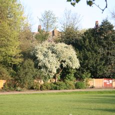
Maryon Park
725 m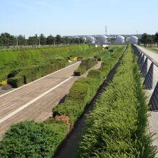
Thames Barrier Park
739 m
Silvertown Quays
939 m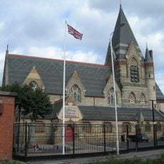
Brick Lane Music Hall
1 km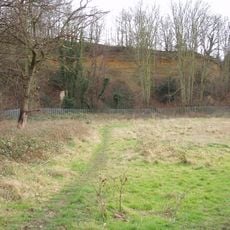
Gilbert's Pit
658 m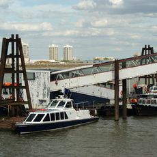
Barrier Gardens Pier
333 m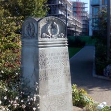
Silvertown War Memorial
865 m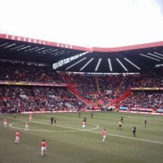
The Valley
782 m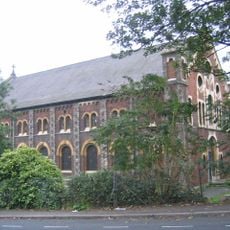
Church of St Thomas
909 m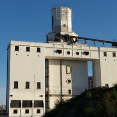
Silo D
1.1 km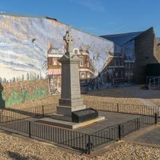
War memorial at former St Mark's Church (Brick Lane Music Hall)
978 m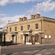
Former Police Station To Royal Dockyard
755 m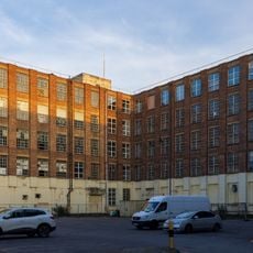
Former Siemens Cable Factory, 37 Bowater Road
237 m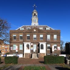
Royal Dockyard Clock House (Facing Entrance)
1.1 km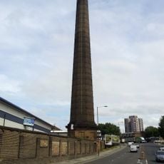
Chimney To Steam Factory, Former Royal Dockyard
853 m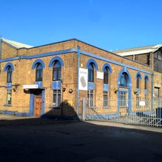
Former Smithery, Erecting Shop And Brass Foundry, Royal Dockyard
767 m
Woodhill School
1 km
Brick Lane Music Hall Mural
983 m
Charlton Athletic Museum
868 m
Metropolitan Police Museum
571 m
The Edinburgh Castle Public House
1.1 km
The Turning Tide
592 m
Lyle Park Mosaic Trail
1 km
Work of art, sculpture
604 m
Bust, Work of art
985 m
Scenic viewpoint
995 m
Scenic viewpoint
897 m
Scenic viewpoint
584 mReviews
Visited this place? Tap the stars to rate it and share your experience / photos with the community! Try now! You can cancel it anytime.
Discover hidden gems everywhere you go!
From secret cafés to breathtaking viewpoints, skip the crowded tourist spots and find places that match your style. Our app makes it easy with voice search, smart filtering, route optimization, and insider tips from travelers worldwide. Download now for the complete mobile experience.

A unique approach to discovering new places❞
— Le Figaro
All the places worth exploring❞
— France Info
A tailor-made excursion in just a few clicks❞
— 20 Minutes