Vikings
Location: South Tyneside
Inception: January 1, 1962
Creator: Colin Davidson
Creator: Colin Davidson
GPS coordinates: 54.98125,-1.49055
Latest update: November 16, 2025 22:34
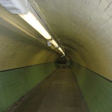
Tyne pedestrian and cyclist tunnel
609 m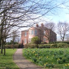
Jarrow Hall
1.1 km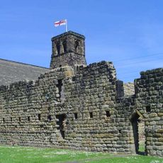
Parish Church of St Paul, Jarrow
1.2 km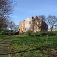
Jarrow Hall
1.1 km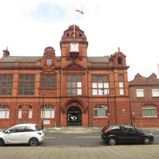
Jarrow Town Hall
53 m
Jarrow Bridge
1.2 km
Christ Church
77 m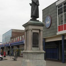
Statue of Sir Charles Palmer, 1st Baronet
609 m
Church of St Bede
286 m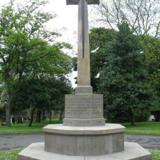
Jarrow Cemetery War Memorial
1.2 km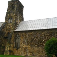
St Paul's Monastery, Jarrow
1.2 km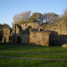
Monastery Of St Paul Ruins Of Jarrow Monastery
1.2 km
Jarrow Library
266 m
Hebburn Hall
1.3 km
Village of Jarrow
1.2 km
Clubhouse In Jarrow Park
647 m
Piers, Walls, Gates And Railings At Entrance To Jarrow Park
661 m
Accomodation Arch East Of Junction With Martin Road
1.7 km
Bedes Well North Of The Grange
1.3 km
St Bedes Parochial Church Centre
427 m
Cenotaph North East Of Christ Church Rectory
148 m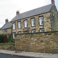
Bede Cottage And Bede House And Attached Outbuilding
1.7 km
Amanda Nicole School Of Dance
1.2 km
The Spirit of Jarrow
218 m
The Ones that Got Away
902 m
Echo
884 m
Charles Palmer Statue
41 m
Work of art, installation artwork
1.1 kmReviews
Visited this place? Tap the stars to rate it and share your experience / photos with the community! Try now! You can cancel it anytime.
Discover hidden gems everywhere you go!
From secret cafés to breathtaking viewpoints, skip the crowded tourist spots and find places that match your style. Our app makes it easy with voice search, smart filtering, route optimization, and insider tips from travelers worldwide. Download now for the complete mobile experience.

A unique approach to discovering new places❞
— Le Figaro
All the places worth exploring❞
— France Info
A tailor-made excursion in just a few clicks❞
— 20 Minutes