Dying boy
Location: Esztergom
Creator: Vörös Béla
Creator: Vörös Béla
GPS coordinates: 47.79281,18.74568
Latest update: July 20, 2025 17:55

Solva
429 m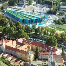
Aquasziget
667 m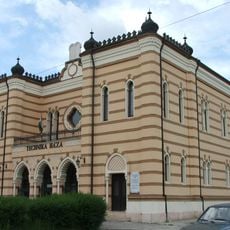
Esztergom Synagogue
374 m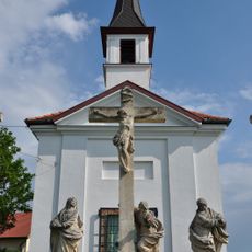
Chapel of Saint Thomas Becket in Szenttamás
579 m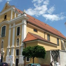
Inner City Franciscan Church
546 m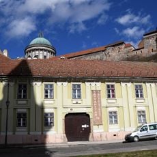
Bálint Balassa Museum
804 m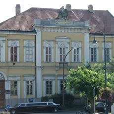
Esztergom Metropolitan Library
672 m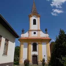
Saint Michael church in Esztergom
674 m
Duna múzeum
216 m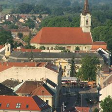
Saints Peter and Paul church in Esztergom
617 m
Központi Kávéház
269 m
Calvary chapel in Esztergom
791 m
Good Shepherd chapel in Esztergom
522 m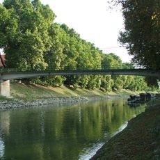
Saint Nicholas bridge, Esztergom
621 m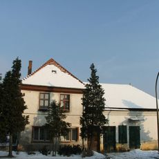
Kossuth Lajos street, 62 Esztergom
690 m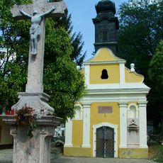
Missio chapel in Esztergom
497 m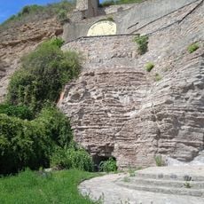
Szent Tamás Cave
466 m
Mother and Child
536 m
Scenic viewpoint
580 m
Reményi Károly
563 m
Aranyhalak
631 m
Statue, Work of art
666 m
Szt.Tamás-hegyi panoráma
512 m
Szent István Strandfürdő (uszoda)
509 m
Playing children
482 m
Kukländer-domb
460 m
Buda Gate Bastion
789 m
Bottyán János lovasszobra
455 mReviews
Visited this place? Tap the stars to rate it and share your experience / photos with the community! Try now! You can cancel it anytime.
Discover hidden gems everywhere you go!
From secret cafés to breathtaking viewpoints, skip the crowded tourist spots and find places that match your style. Our app makes it easy with voice search, smart filtering, route optimization, and insider tips from travelers worldwide. Download now for the complete mobile experience.

A unique approach to discovering new places❞
— Le Figaro
All the places worth exploring❞
— France Info
A tailor-made excursion in just a few clicks❞
— 20 Minutes