Szent András
Location: Jászszentandrás
Creator: Kő Pál
Creator: Kő Pál
GPS coordinates: 47.58213,20.17381
Latest update: November 20, 2025 17:02
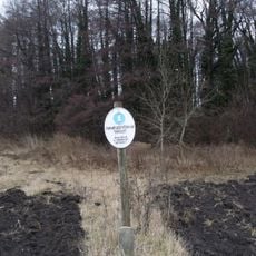
Hevesi Füves Puszták (steppes) Protected Landscape Area
17.2 km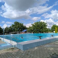
Tölgyes Strand
8.9 km
Almásy Mansion, Tarnaméra
7.8 km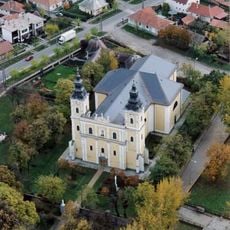
Church of the Nativity of the Virgin Mary
8.1 km
Pusztafogacs
5.4 km
Erdőteleki Alder Bog Wood Protected Area
16.3 km
Szentháromság templom (Jászárokszállás)
16 km
Saints Peter and Paul church in Kál
17.8 km
Saint Stephen of Hungary Church, Tarnabod
12.3 km
Béke
16.4 km
Szent Vendel
352 m
Nepomuki Szent János
14 km
Mackók
19 km
Millenniumi emlékmű
16.2 km
Esemény Kert
9.2 km
Turul
8.6 km
Első világhábotús emlékmű
8 km
Szentháromság-szobor
8 km
Ötlyukú Kőhíd
12 km
Szent Vendel szobor
19 km
Olvasó lány
9.1 km
Statue, Work of art
16.6 km
Statue, Work of art
16.5 km
Sculpture, Work of art
17.1 km
Statue, Work of art
8 km
Work of art
18.7 km
Fa kilátó
17.1 km
Scenic viewpoint
11.8 kmReviews
Visited this place? Tap the stars to rate it and share your experience / photos with the community! Try now! You can cancel it anytime.
Discover hidden gems everywhere you go!
From secret cafés to breathtaking viewpoints, skip the crowded tourist spots and find places that match your style. Our app makes it easy with voice search, smart filtering, route optimization, and insider tips from travelers worldwide. Download now for the complete mobile experience.

A unique approach to discovering new places❞
— Le Figaro
All the places worth exploring❞
— France Info
A tailor-made excursion in just a few clicks❞
— 20 Minutes