SS
Location: Sveitarfélagið Árborg
GPS coordinates: 63.94439,-21.01068
Latest update: July 20, 2025 18:04
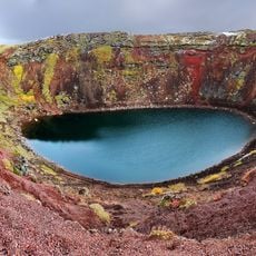
Grímsnes
11.9 km
RAF Kaldadarnes
8 km
Kaldaðarnes
8 km
Flói Nature Reserve
9.9 km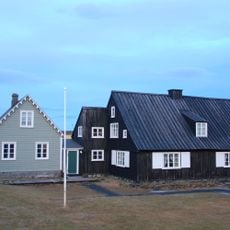
The Árnesinga Folk Museum
11 km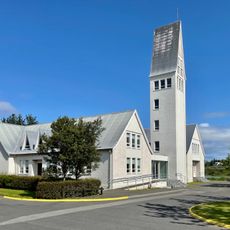
Selfosskirkja
692 m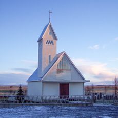
Laugardæla kyrka
2.1 km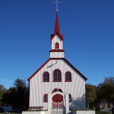
Kotstrandarkirkja
7 km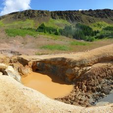
Leirgerður
10.8 km
Hveragerði Geothermal Park
10.7 km
Sólhestar Horse Rental Ölfus
5.1 km
Scenic viewpoint
1.8 km
Öndverðarnesvöllur
8.6 km
Torf
8.6 km
Scenic viewpoint
9.3 km
Svarfhólsvöllur
1.5 km
Sveitagarðurinn
10.4 km
Eternity Geysir
10.7 km
Reykjafoss
10.6 km
Litla leikhúsið við Sigtún
853 m
Gallery Listasel
885 m
Scenic viewpoint
5.8 km
Björgunarsveitin Björg
11.4 km
Gufudalsvöllur
11.7 km
Grýla
11.9 km
Leikfélag Selfoss
852 m
Scenic viewpoint
12 km
Scenic viewpoint
12.5 kmReviews
Visited this place? Tap the stars to rate it and share your experience / photos with the community! Try now! You can cancel it anytime.
Discover hidden gems everywhere you go!
From secret cafés to breathtaking viewpoints, skip the crowded tourist spots and find places that match your style. Our app makes it easy with voice search, smart filtering, route optimization, and insider tips from travelers worldwide. Download now for the complete mobile experience.

A unique approach to discovering new places❞
— Le Figaro
All the places worth exploring❞
— France Info
A tailor-made excursion in just a few clicks❞
— 20 Minutes