Atrask savo laimę
Location: Utena
Creator: Kęstutis Musteikis
Creator: Kęstutis Musteikis
GPS coordinates: 55.49817,25.59789
Latest update: November 15, 2025 10:15
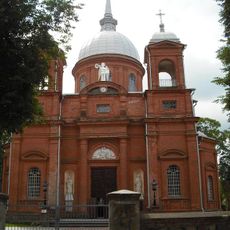
Church of the Ascension of Christ, Utena
663 m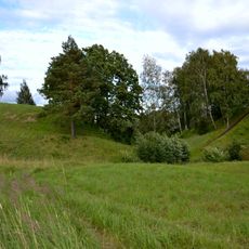
Narkūnai hillfort
4.1 km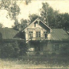
Vyžuonėlės manor
4.1 km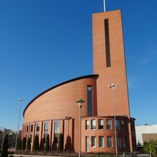
Church of the Providence of God, Utena
1.1 km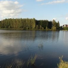
Utena pond
3.6 km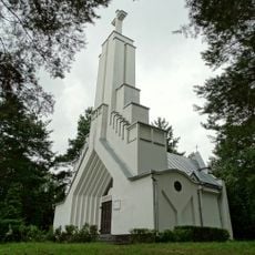
Chapel of St. Virgin Mary, Queen of Martyrs in Utena
874 m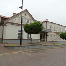
Museum of regionalstudies of Utena
304 m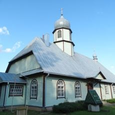
Old Believers Church in Utena
1.7 km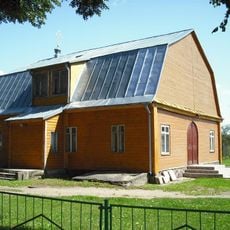
Church of the Ascension of Christ in Utena
196 m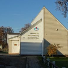
Baptist church in Utena
715 m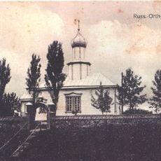
Saint Sergius of Radonezh Orthodox church in Utena
196 m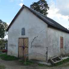
Old cemetery chapel, Utena
814 m
Nemeikščių piliakalnis
3.8 km
Jasonių gyvenvietės tvenkinys
4.6 km
Utenos šviečiantis lazerinis vandens fontanas
760 m
Jasonių sodų tvenkinys
4.1 km
Kauliniškio tvenkinys
3 km
Verbūnų tvenkinys
5.4 km
Vestuvių kalnas
3 km
Ąžuolijos pažintinis pėsčiųjų takas
4.2 km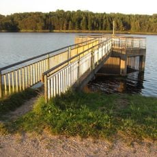
Nemeikščių tvenkinys
4.6 km
Vyžuonos parko amfiteatras
747 m
UKC dailės galerija
926 m
Utena „1263“
1.3 km
Utena
3.7 km
Utena
2.8 km
Utena
2.8 km
Vyžuonos parko apžvalgos aikštelė
1.1 kmReviews
Visited this place? Tap the stars to rate it and share your experience / photos with the community! Try now! You can cancel it anytime.
Discover hidden gems everywhere you go!
From secret cafés to breathtaking viewpoints, skip the crowded tourist spots and find places that match your style. Our app makes it easy with voice search, smart filtering, route optimization, and insider tips from travelers worldwide. Download now for the complete mobile experience.

A unique approach to discovering new places❞
— Le Figaro
All the places worth exploring❞
— France Info
A tailor-made excursion in just a few clicks❞
— 20 Minutes