Algimanto apygardos partizanų žuvimo vieta
Location: Svėdasų seniūnija
Website: https://nesedeknamuose.lt/nuo-slaptavietes-iki-slaptavietes-algimanto-apygardos-partizanu-kovu-takais/
GPS coordinates: 55.67668,25.27771
Latest update: November 4, 2025 22:14
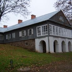
Adomynė Manor
8.2 km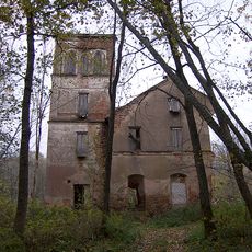
Svėdasai manor
5.5 km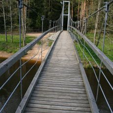
Mikieriai footbridge
6.5 km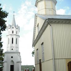
Church of St. Michael the Archangel, Svėdasai
5.6 km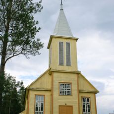
Church of Our Lady of the Gate of Dawn, Inkūnai
6.4 km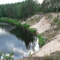
Šventoji Landscape Reserve
5.2 km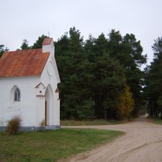
Bajorai chapel
4.5 km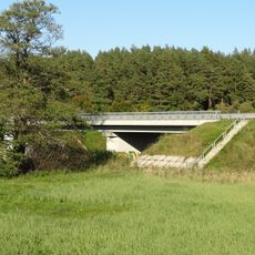
Vaižgantas bridge
4.4 km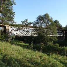
Mickūnų tiltas
4.4 km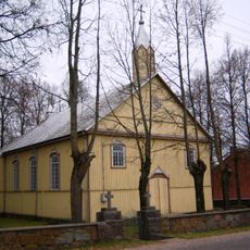
Church of the Holy Name of the Virgin Mary, Adomynė
8.2 km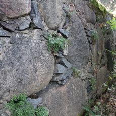
Wall-rue habitat
6.9 km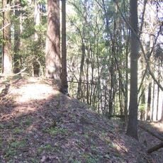
Aluotos hillfort
3.5 km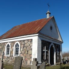
Cemetery chapel, Svėdasai
5.2 km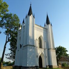
Moriconi family chapel, Svėdasai
5.5 km
Bugailiškiai hillfort
8.7 km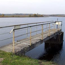
Leliūnų tvenkinys
6.4 km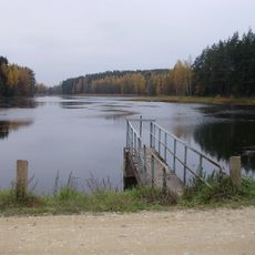
Jotkonių tvenkinys
4.7 km
Jaros gyvenvietės
6.1 km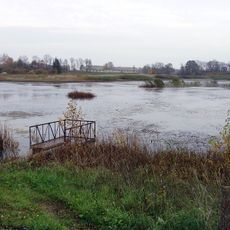
Sterkiškio tvenkinys
7.9 km
Adomynės tvenkinys
8.3 km
Aluotų tvenkinys
4.6 km
Vikonių tvenkinys
3.9 km
Laukinių gyvūnų aptvaras „Danielynas“
6.6 km
1863 m. sukilėlių stovyklavietė
7.5 km
Pažintinis takas „į Girią“
6.3 km
Pažintinis takas "Algimanto apygardos partizanų kovų takais"
3 km
Algimanto apygardos partizanų bunkeris
2.1 km
Mikierių atodanga
5.3 kmReviews
Visited this place? Tap the stars to rate it and share your experience / photos with the community! Try now! You can cancel it anytime.
Discover hidden gems everywhere you go!
From secret cafés to breathtaking viewpoints, skip the crowded tourist spots and find places that match your style. Our app makes it easy with voice search, smart filtering, route optimization, and insider tips from travelers worldwide. Download now for the complete mobile experience.

A unique approach to discovering new places❞
— Le Figaro
All the places worth exploring❞
— France Info
A tailor-made excursion in just a few clicks❞
— 20 Minutes