Przedwojenne zdjęcia Włodawy
Location: Podzamcze
Location: Włodawa
GPS coordinates: 51.54808,23.55834
Latest update: July 20, 2025 19:41
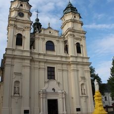
Saint Louis church in Włodawa
211 m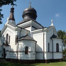
Orthodox church of the Nativity of the Virgin Mary in Włodawa
477 m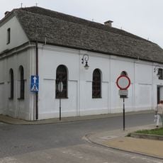
Small Synagogue in Włodawa
486 m
Pomnik Tadeusza Kościuszki we Włodawie
359 m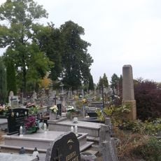
Catholic cemetery in Włodawa
357 m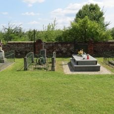
Cmentarz cerkiewny
473 m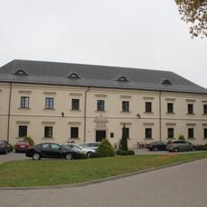
Pauline monastery in Włodawa
170 m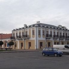
Włodawa, Czworobok
505 m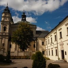
Zespół klasztorny paulinów
197 m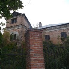
6 Podzamcze Street in Włodawa
130 m
Orthodox Priests' House in Włodawa
425 m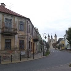
Układ urbanistyczny, poł. XVI
286 m
Amfiteatr Włodawa
185 m
Ogrody Paulińskie
164 m
Włodawa Miasto Trzech Kultur
275 m
Herb Paulinów
233 m
Kapliczka św. Antoniego
434 m
Klasztor Paulinów
173 m
Muszla Koncertowa
172 m
Scenic viewpoint
483 m
Czworobok
486 m
Budka nietelefoniczna - Krystyna Krahelska
321 m
Mała Synagoga
487 m
Scenic viewpoint
488 m
Czworobok
504 m
Tężnia Solankowa
134 m
Wracający z synagogi
508 m
Dziedziniec Czworoboku - Amfiteatr
512 mReviews
Visited this place? Tap the stars to rate it and share your experience / photos with the community! Try now! You can cancel it anytime.
Discover hidden gems everywhere you go!
From secret cafés to breathtaking viewpoints, skip the crowded tourist spots and find places that match your style. Our app makes it easy with voice search, smart filtering, route optimization, and insider tips from travelers worldwide. Download now for the complete mobile experience.

A unique approach to discovering new places❞
— Le Figaro
All the places worth exploring❞
— France Info
A tailor-made excursion in just a few clicks❞
— 20 Minutes