Hovdegubben
Location: Härjedalens kommun
GPS coordinates: 62.48294,13.95597
Latest update: October 28, 2025 14:11
Sonfjället National Park
29.7 km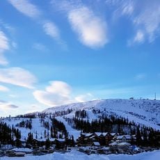
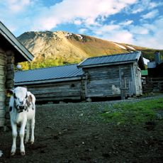
Vemdalsskalet
980 m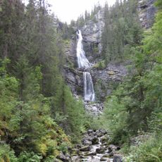
Fettjeåfallet
9.9 km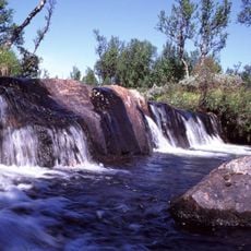
Arån
30.4 km
Långå skans
37.5 km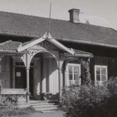
Hede kommun
24.9 km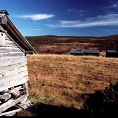
Henvålen Nature Reserve
38.4 km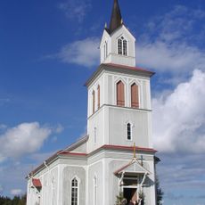
Åsarne gamla kyrka
28.3 km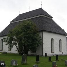
Hede church
23.7 km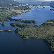
Lännässjön
16.5 km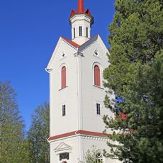
Rätans kyrka
30.5 km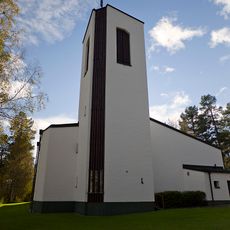
Åsarne new Church
27.3 km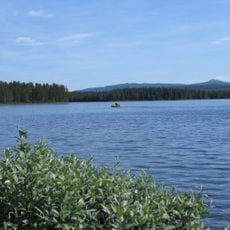
Börtnen
28.7 km
Nyvallen
28.7 km
Galån
26.9 km
Vikarsjön
15.6 km
Röjan
21.4 km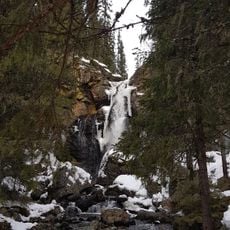
Sångbäcksfallet
9.2 km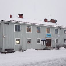
Vemdals Bio
6.1 km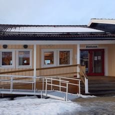
Vemdalen Library
6.3 km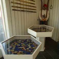
Skidmuseum
27.6 km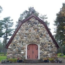
Skogskyrkogårdens kapell
12.7 km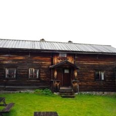
Tomtangården
12.7 km
Rätan 92:1
38.6 km
Holmvallen
22.9 km
Fallmoranfallet
4.3 km
Scenic viewpoint
25 km
Scenic viewpoint
34.1 kmReviews
Visited this place? Tap the stars to rate it and share your experience / photos with the community! Try now! You can cancel it anytime.
Discover hidden gems everywhere you go!
From secret cafés to breathtaking viewpoints, skip the crowded tourist spots and find places that match your style. Our app makes it easy with voice search, smart filtering, route optimization, and insider tips from travelers worldwide. Download now for the complete mobile experience.

A unique approach to discovering new places❞
— Le Figaro
All the places worth exploring❞
— France Info
A tailor-made excursion in just a few clicks❞
— 20 Minutes