Réussir ensemble
Location: Sembrancher
Creator: Michel Favre
Creator: Michel Favre
GPS coordinates: 46.07797,7.14611
Latest update: November 17, 2025 08:06
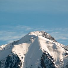
Le Catogne
3.8 km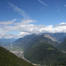
La Crevasse
1.8 km
Kloster Sembrancher
519 m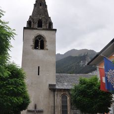
Saint-Étienne church
341 m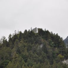
Saint-Jean chapel and archaeological site
498 m
Mont Regard
2.5 km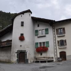
Three houses with front stair tower
2 km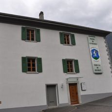
Hospital
186 m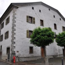
Luder house
363 m
Les Blisiers
4.5 km
Neolithic site and necropolis - bronze age and iron age habitats
144 m
Li Blanche
4.5 km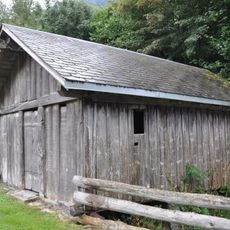
Allèves mill
694 m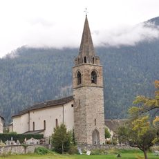
Saint-Martin church
2.1 km
Mine à Hubacher
2.9 km
Mine de fer
3.2 km
Mémorial de l'amicale des chasseurs de Bovernier
4.2 km
Work of art, sculpture
131 m
Wayside cross, scenic viewpoint
4.6 km
Scenic viewpoint
1.2 km
La Médille
1.6 km
Scenic viewpoint
1.8 km
Scenic viewpoint
1.7 km
Roc Blanc
1.9 km
Scenic viewpoint
2.5 km
Scenic viewpoint
1.8 km
Scenic viewpoint
1.8 km
Scenic viewpoint
2.2 kmReviews
Visited this place? Tap the stars to rate it and share your experience / photos with the community! Try now! You can cancel it anytime.
Discover hidden gems everywhere you go!
From secret cafés to breathtaking viewpoints, skip the crowded tourist spots and find places that match your style. Our app makes it easy with voice search, smart filtering, route optimization, and insider tips from travelers worldwide. Download now for the complete mobile experience.

A unique approach to discovering new places❞
— Le Figaro
All the places worth exploring❞
— France Info
A tailor-made excursion in just a few clicks❞
— 20 Minutes