
Neolithic site and necropolis - bronze age and iron age habitats
Neolithic site and necropolis - bronze age and iron age habitats, archaeological site in Sembrancher in the canton of Valais, Switzerland
Location: Sembrancher
Part of: list of cultural properties in Sembrancher
Address: La Crête à Polet, 1933 Sembrancher 1933 1933
GPS coordinates: 46.07723,7.14458
Latest update: March 5, 2025 12:05
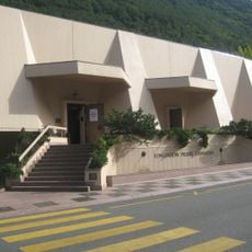
Fondation Pierre Gianadda
6 km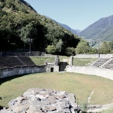
Roman amphitheatre of Martigny
5.8 km
Bruson
5.3 km
Le Catogne
3.7 km
Flore-Alpe botanical garden
5.5 km
Musée et Chiens du Saint-Bernard
5.8 km
Artillery Fort of Champex
5.9 km
La Crevasse
1.8 km
Six Blanc
5.4 km
Musée de l’automobile
6 km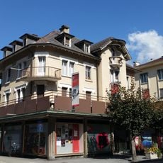
Valais film center
6.1 km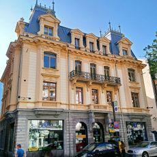
Museum of earth sciences
6.1 km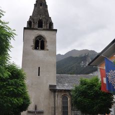
Saint-Étienne church
472 m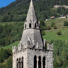
Saint Nicholas of Myra bell tower and church
5.1 km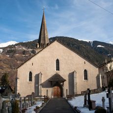
Église St-Maurice - Le Châble
5 km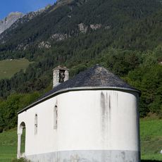
Saint-Eusèbe chapel
6.1 km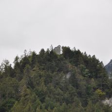
Saint-Jean chapel and archaeological site
518 m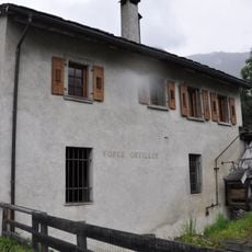
Forge Oreiller
5.1 km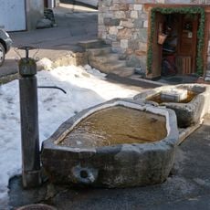
Cotterg - Fontaine du village
5.2 km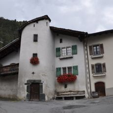
Three houses with front stair tower
2.2 km
Luder house
496 m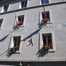
Municipal archives Orsières
5.2 km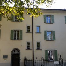
House of Saint-Bernard
6.1 km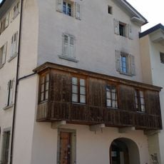
Supersaxo house
6 km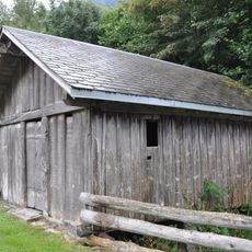
Allèves mill
828 m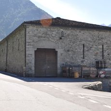
Souste
5.5 km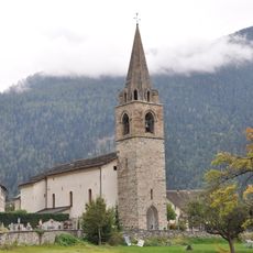
Saint-Martin church
2.2 km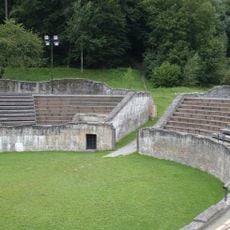
Ville, ville romaine et moderne
5.9 kmReviews
Visited this place? Tap the stars to rate it and share your experience / photos with the community! Try now! You can cancel it anytime.
Discover hidden gems everywhere you go!
From secret cafés to breathtaking viewpoints, skip the crowded tourist spots and find places that match your style. Our app makes it easy with voice search, smart filtering, route optimization, and insider tips from travelers worldwide. Download now for the complete mobile experience.

A unique approach to discovering new places❞
— Le Figaro
All the places worth exploring❞
— France Info
A tailor-made excursion in just a few clicks❞
— 20 Minutes