Mais
Location: Laupen
Made from material: metal
GPS coordinates: 46.89913,7.24275
Latest update: November 21, 2025 12:27
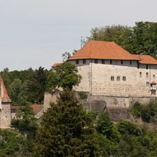
Castle
350 m
Auried (Amphibian Spawing Area)
2.3 km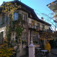
Laupen
335 m
So-called old chaplaincy
398 m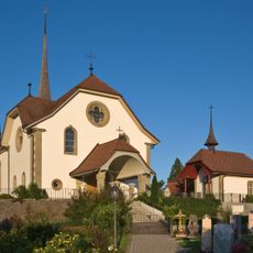
Katholische Kirche St. Jakobus der Ältere (1790, 1905)
1.2 km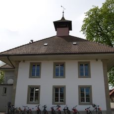
Elementary school building
2.2 km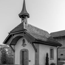
Kapelle Unserer Lieben Frau von den sieben Schmerzen
3.6 km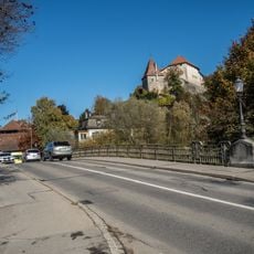
Bridge over the Sense
350 m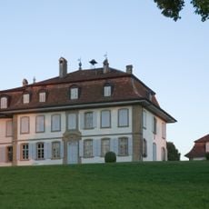
Landsitz von Vogelshus, Vogelshaus, Bösingen
3.6 km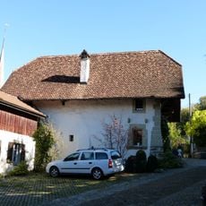
Freienhof with old chaplaincy
412 m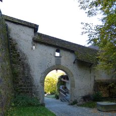
City fortification
491 m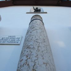
Roman columns in Bösingen
1.3 km
Granary
1.4 km
De Praroman manor house
3.6 km
Farmhouse
1.9 km
Chutzen
1.9 km
Work of art
2.9 km
Schienenvelo
967 m
Scenic viewpoint
3 km
Scenic viewpoint
3.1 km
Scenic viewpoint
2.1 km
Scenic viewpoint
2.2 km
Scenic viewpoint
2.3 km
Waterfall
2.1 km
Waterfall
2.1 km
Waterfall
2.2 km
Waterfall
3.3 km
Waterfall
3.1 kmReviews
Visited this place? Tap the stars to rate it and share your experience / photos with the community! Try now! You can cancel it anytime.
Discover hidden gems everywhere you go!
From secret cafés to breathtaking viewpoints, skip the crowded tourist spots and find places that match your style. Our app makes it easy with voice search, smart filtering, route optimization, and insider tips from travelers worldwide. Download now for the complete mobile experience.

A unique approach to discovering new places❞
— Le Figaro
All the places worth exploring❞
— France Info
A tailor-made excursion in just a few clicks❞
— 20 Minutes