Знак "Богородчани"
Location: Підгір'я
Location: Богородчанська селищна громада
GPS coordinates: 48.79404,24.52782
Latest update: July 20, 2025 20:45
Starunia
12.2 km
Dibrova
3.5 km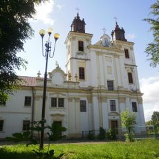
Saint Peter and Paul church in Bohorodchany
1.5 km
Church of the Dormition, Hvizd
13.6 km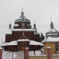
Church of the Annunciation, Chukalivka
14.2 km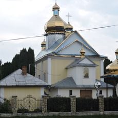
Church of the Nativity, Pidhiria
1 km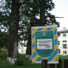
Solotvyn Oaks
12.6 km
Arboretum named after the 40th anniversary of Victory
10.6 km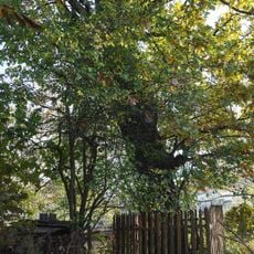
Oak zvichayny
1.4 km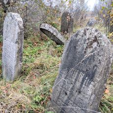
Jewish cemetery in Solotvyn (Ivano-Frankivsk Oblast)
12.7 km
Старунська соляна криниця
10.6 km
Військова частина
12.3 km
Blessed Symeon Lukach Dismissal Center
8.6 km
Каплиця Пресвятої Родини
8.4 km
Межа районів
11.2 km
Знак "Посіч"
11.5 km
Погруддя Т. Шевченку
12.1 km
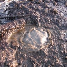
Wulkan błotny "Staruszka"
12.1 km
Scenic viewpoint
6.7 km
Bears
10.5 km
Австрійська криниця
12.3 km
Футбольний м'яч
2.4 km
Вольер з левами і тиграми
1.5 km
Scenic viewpoint
13.1 km
Водозабірна станція
13.2 km
Фільварок
13.5 km
Вольер з страусами
1.4 km
Весела собачка
13.6 kmReviews
Visited this place? Tap the stars to rate it and share your experience / photos with the community! Try now! You can cancel it anytime.
Discover hidden gems everywhere you go!
From secret cafés to breathtaking viewpoints, skip the crowded tourist spots and find places that match your style. Our app makes it easy with voice search, smart filtering, route optimization, and insider tips from travelers worldwide. Download now for the complete mobile experience.

A unique approach to discovering new places❞
— Le Figaro
All the places worth exploring❞
— France Info
A tailor-made excursion in just a few clicks❞
— 20 Minutes