John Oliver
Location: Oliver
Creator: Letta Shores
Made from material: bronze
Creator: Letta Shores
GPS coordinates: 49.18244,-119.55075
Latest update: November 19, 2025 19:21
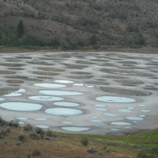
Spotted Lake
11.7 km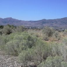
Okanagan Desert
14.5 km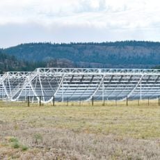
Canadian Hydrogen Intensity Mapping Experiment
16.4 km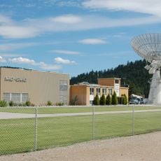
Dominion Radio Astrophysical Observatory
16.2 km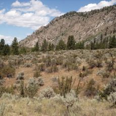
South Okanagan-Similkameen National Park
8.6 km
Anarchist Protected Area
17.1 km
Okanagan Falls Provincial Park
17.8 km
White Lake Grasslands Protected Area
12.8 km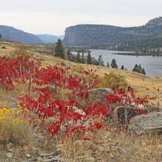
Vaseux Lake Provincial Park
13.3 km
Inkaneep Provincial Park
4.9 km
Vaseux Protected Area
11.7 km
Vaseux-Bighorn National Wildlife Area
12.1 km
Sxwexwnitkw Provincial Park
17.8 km
South Okanagan Grasslands Protected Area
12 km
Hayne's Lease Ecological Reserve
10.9 km
Field's Lease Ecological Reserve
14.1 km
Osoyoos Visitor Centre
17.1 km
Osoyoos Desert Centre
14.7 km
Mahoney Lake Ecological Reserve
12.2 km
Vaseux Lake Migratory Bird Sanctuary
12.1 km
Fairview Mountain Golf Club
3.9 km
Oliver Community Stage
595 m
Exhale
292 m
Spotted Lake
11.6 km
Scenic viewpoint
13.8 km
Scenic viewpoint
13.7 km
Scenic viewpoint
10.7 km
Scenic viewpoint
10.7 kmReviews
Visited this place? Tap the stars to rate it and share your experience / photos with the community! Try now! You can cancel it anytime.
Discover hidden gems everywhere you go!
From secret cafés to breathtaking viewpoints, skip the crowded tourist spots and find places that match your style. Our app makes it easy with voice search, smart filtering, route optimization, and insider tips from travelers worldwide. Download now for the complete mobile experience.

A unique approach to discovering new places❞
— Le Figaro
All the places worth exploring❞
— France Info
A tailor-made excursion in just a few clicks❞
— 20 Minutes