
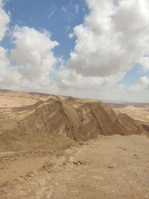
Large fin
Location: מועצה אזורית רמת נגב
GPS coordinates: 30.94567,35.02877
Latest update: October 27, 2025 21:36
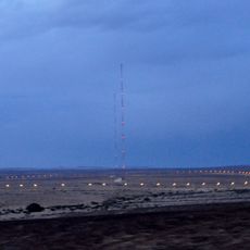
Dimona Radar Facility
7.5 km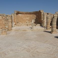
Mamshit
9.6 km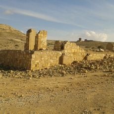
Oil exploration camp in Mount Avnon
6 km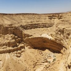
תצפית מפל ימין
4.7 km
תצפית על מעלה פלמ"ח
2.9 km
Hakarbolet
6.4 km
תצפית על נחל גולחן.
4.4 km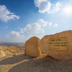
Maklef lookout
9.8 km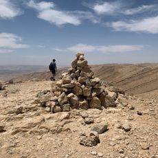
הנקודה הגבוהה לאחר העליה לכרבולת
9.2 km
Small fin
270 m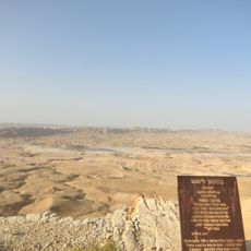
מצפור ליואב
4.1 km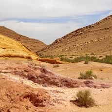
Coloured Sands
839 m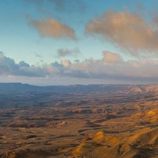
מצפור הר אבנון
5.3 km
Golchan Fall
4.8 km
Scenic viewpoint
5.7 km
Scenic viewpoint
10.3 km
Scenic viewpoint
9.6 km
Scenic viewpoint
4.5 km
נקודה יפה לעצור את הרכב בירידה למכתש.
5.6 km
ראש מעלה ימין
5 km
Scenic viewpoint
6.4 km
קניון נחל גוב
10 km
Quartz Arenite
4.8 km
Scenic viewpoint
2.6 km
Yamin Pool
4.2 km
Colored Sands
873 m
תצפית הרי מטמור
5.9 km
יד שורקה
393 mReviews
Visited this place? Tap the stars to rate it and share your experience / photos with the community! Try now! You can cancel it anytime.
Discover hidden gems everywhere you go!
From secret cafés to breathtaking viewpoints, skip the crowded tourist spots and find places that match your style. Our app makes it easy with voice search, smart filtering, route optimization, and insider tips from travelers worldwide. Download now for the complete mobile experience.

A unique approach to discovering new places❞
— Le Figaro
All the places worth exploring❞
— France Info
A tailor-made excursion in just a few clicks❞
— 20 Minutes