
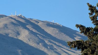
Horan Lookout
Location: מועצה אזורית גולן
GPS coordinates: 33.30356,35.79508
Latest update: October 27, 2025 18:53
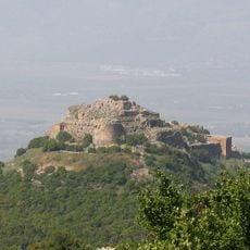
Nimrod Fortress
9.4 km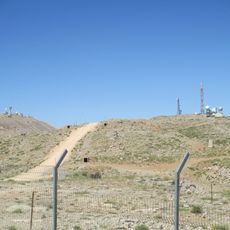
Mitzpe Shelegim
1.9 km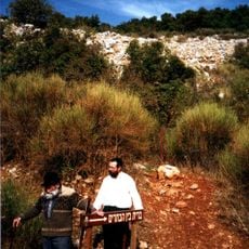
Mount Betarim
8.6 km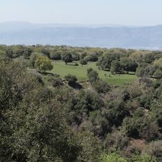
Odem Forest Reserve
10.2 km
Nabi Ya'afuri
7.4 km
Tal al-Manfucha
6.5 km
Mount Keramim
9.5 km
Har Senaim
7.6 km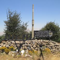
74th Battalion memorial on Golan Heights
9.4 km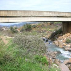
The Friendship Bridge (Israel)
10.3 km
17th Battalion Memorial in Mount Hermon
3.5 km
דולינה
1.7 km
Scenic viewpoint
4.5 km
Work of art, sculpture
2.2 km
Scenic viewpoint
1.1 km
גבעות הקרב
638 m
Resisim waterfall
10 km
תצפית נמרוד
7.6 km
Scenic viewpoint
1 km
Scenic viewpoint
9.1 km
Work of art, sculpture
2.2 km
Scenic viewpoint
6.4 km
אנדרטת חללי סיירת גולני בקרבות מלחמת יום הכיפורים
1 km
קרב החרמון
850 m
סגן איתן להב
5.8 km
אנדרטה לסיירת אגוז
6.7 km
כיכר הסולטן
4.3 km
אנדרטת אסון מגרש הספורט
4.9 kmReviews
Visited this place? Tap the stars to rate it and share your experience / photos with the community! Try now! You can cancel it anytime.
Discover hidden gems everywhere you go!
From secret cafés to breathtaking viewpoints, skip the crowded tourist spots and find places that match your style. Our app makes it easy with voice search, smart filtering, route optimization, and insider tips from travelers worldwide. Download now for the complete mobile experience.

A unique approach to discovering new places❞
— Le Figaro
All the places worth exploring❞
— France Info
A tailor-made excursion in just a few clicks❞
— 20 Minutes