Zaron Hill
Location: מועצה אזורית תמר
GPS coordinates: 31.15940,35.31946
Latest update: November 12, 2025 01:20
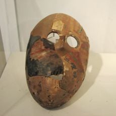
Nahal Hemar Cave
3.3 km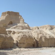
Zohar Fort
2.7 km
H̱ammé Zohar
4.7 km
צוק תמרור
2.3 km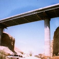
Zohar Bridge
4.2 km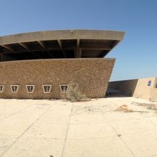
Beit HaYotzer Museum
4.2 km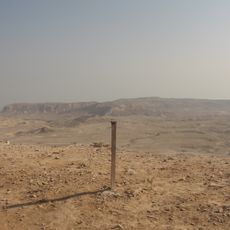
Scenic viewpoint
2.3 km
Iacov Steinmetz Outlook Post
2.9 km
Neve Zohar Observation Point
3.3 km
Ẕuq Tamrur cliff
2.3 km
הר יזרח, נוף נהדר לים המלח ולנחל רום.
3.4 km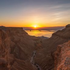
תצפית נחל בוקק
4.4 km
רגל פיל
1.3 km
Scenic viewpoint
3 km
Hamei Zohar Public Beach
4.8 km
Scenic viewpoint
4.1 km
Hamei Zohar Public Beach - MEN
4.7 km
Scenic viewpoint
1.9 km
Scenic viewpoint
4.9 km
Scenic viewpoint
1 km
Scenic viewpoint
2.8 km
Scenic viewpoint
4.8 km
Hamei Zohar Public Beach - WOMEN
4.8 km
הר יזרח, נוף נהדר לים המלח ולנחל רום.
3.4 km
מצד זוהר הישראלי
3.8 km
מפל חלמיש
1.4 km
מפל בוקק
4.4 km
Waterfall
2.9 kmReviews
Visited this place? Tap the stars to rate it and share your experience / photos with the community! Try now! You can cancel it anytime.
Discover hidden gems everywhere you go!
From secret cafés to breathtaking viewpoints, skip the crowded tourist spots and find places that match your style. Our app makes it easy with voice search, smart filtering, route optimization, and insider tips from travelers worldwide. Download now for the complete mobile experience.

A unique approach to discovering new places❞
— Le Figaro
All the places worth exploring❞
— France Info
A tailor-made excursion in just a few clicks❞
— 20 Minutes