מצפור הר אדיר
Location: מועצה אזורית גליל עליון
GPS coordinates: 33.03363,35.36982
Latest update: November 12, 2025 16:38
Tomb of Nabi Sabalan
3.6 km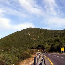
Jebel Adathir
257 m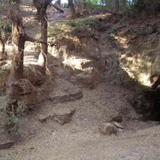
Pa'ar Cave
1.5 km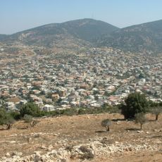
Har Zevul
3.7 km
Godrim
2.3 km
Tel Rosh
3.6 km
Har Sasa
1.8 km
Me‘arat Goderim
1.6 km
Shemurat Har Sasa (reserbasyon sa kinaiyahan, lat 33,04, long 35,39)
2 km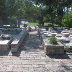
Hurfesh Military Cemetery
3.2 km
El Mu‘allaqa
4 km
Tourist attraction
2.6 km
Shemurat Har Goderim
1.9 km
Shemurat Har Miron
957 m
Shemurat Naẖal Mattat
1.9 km
Shemurat Har Dovev
3.7 km
Me‘arat Ẕo‘arim
1.7 km
Shemurat Brekhat Sasa
2.5 km
Work of art, sculpture
3.8 km
Sculpture, Work of art
3.8 km
מאובנים
720 m
Scenic viewpoint
3.9 km
ספריית שביל ישראל
3.9 km
سبلن
3.8 km
שייח' אבו הליון
3.4 km
חורבת בדיד
2.3 km
Khirbet Qatamun
2.7 km
חורבת חממה
3.5 kmReviews
Visited this place? Tap the stars to rate it and share your experience / photos with the community! Try now! You can cancel it anytime.
Discover hidden gems everywhere you go!
From secret cafés to breathtaking viewpoints, skip the crowded tourist spots and find places that match your style. Our app makes it easy with voice search, smart filtering, route optimization, and insider tips from travelers worldwide. Download now for the complete mobile experience.

A unique approach to discovering new places❞
— Le Figaro
All the places worth exploring❞
— France Info
A tailor-made excursion in just a few clicks❞
— 20 Minutes