Round Tower
Location: מועצה אזורית גולן
GPS coordinates: 32.90289,35.74046
Latest update: October 26, 2025 17:06
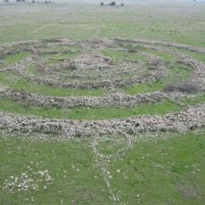
Rujm el-Hiri
5.7 km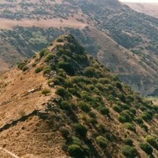
Gamla nature reserve
16 m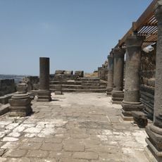
Deir Aziz Ancient synagogue
5 km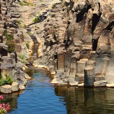
Yehudiya Forest Nature Reserve
6.2 km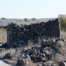
Deir Qeruh
629 m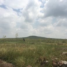
Giv'at Bezek
2.4 km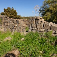
Hurvat Zmimrah
7.4 km
תצפית כנף
5.6 km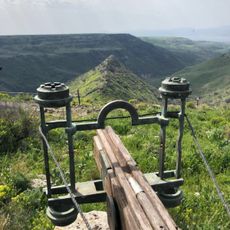
Gamla Lookout
427 m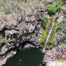
Nahal Zavitan Viewpoint
8.1 km
מצפור הנשרים
525 m
Scenic viewpoint
5.2 km
Scenic viewpoint
1.4 km
מצפור האלון
5.7 km
טנק
8.6 km
טנק
8.6 km
Scenic viewpoint
5.9 km
מצפה מפל עיט
5.9 km
Scenic viewpoint
8.4 km
תצפית בית צידה
4.7 km
טנק
8.6 km
Scenic viewpoint
5.8 km
Scenic viewpoint
95 m
Scenic viewpoint
74 m
Scenic viewpoint
379 m
Scenic viewpoint
454 m
מצפה הבנים
8.5 km
טנק
8.6 kmReviews
Visited this place? Tap the stars to rate it and share your experience / photos with the community! Try now! You can cancel it anytime.
Discover hidden gems everywhere you go!
From secret cafés to breathtaking viewpoints, skip the crowded tourist spots and find places that match your style. Our app makes it easy with voice search, smart filtering, route optimization, and insider tips from travelers worldwide. Download now for the complete mobile experience.

A unique approach to discovering new places❞
— Le Figaro
All the places worth exploring❞
— France Info
A tailor-made excursion in just a few clicks❞
— 20 Minutes