
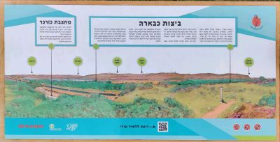
שלט והסבר על "ביצות כבארה"
Location: מועצה אזורית חוף הכרמל
GPS coordinates: 32.56697,34.92008
Latest update: November 13, 2025 11:18
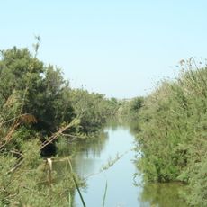
Nahal Taninim
2.2 km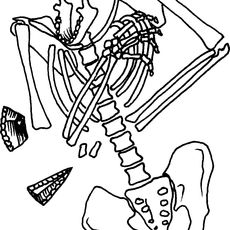
Kebara Cave
1.9 km
Langa Estate
2.8 km
שמורת איי חוף דור-מעגן מיכאל
1.8 km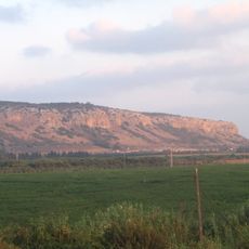
Cukej Chotem
3 km
Shemurat Naẖal Tanninim
2.2 km
Shemurat H̱otem Karmel
2.3 km
Me‘arat Kevara
1.8 km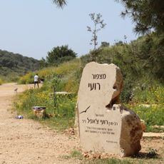
Ro'ee Lookout Point
2.2 km
Shemurat Shefekh Naẖal Daliyya
1.8 km
Shemurat Berekhat Timsaẖ
1.8 km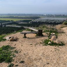
פינת חמד לנוח ולאכול עם נוף יפה לכיוון דרום
1.7 km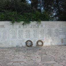
Memorial Wall to Zichron Yaakov War Dead
2.4 km
Ma'ayan Zvi beach
1.3 km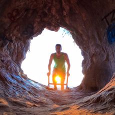
מערת החזירים
1.6 km
Sea Heart
1.2 km
Scenic viewpoint
3 km
Scenic viewpoint
2.7 km
מצפור אזולאי
1.9 km
Scenic viewpoint
2 km
גבעת הצבעונים
118 m
Scenic viewpoint
3 km
Scenic viewpoint
3 km
Ma'ayan Zvi fishing park
1.4 km
Vulture cage
2 km
חורבת עקב
3 km
קולומבריום
151 m
טחנות קמח ביזנטיות
2.2 kmReviews
Visited this place? Tap the stars to rate it and share your experience / photos with the community! Try now! You can cancel it anytime.
Discover hidden gems everywhere you go!
From secret cafés to breathtaking viewpoints, skip the crowded tourist spots and find places that match your style. Our app makes it easy with voice search, smart filtering, route optimization, and insider tips from travelers worldwide. Download now for the complete mobile experience.

A unique approach to discovering new places❞
— Le Figaro
All the places worth exploring❞
— France Info
A tailor-made excursion in just a few clicks❞
— 20 Minutes