
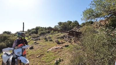
תצפית התותח
Location: מועצה אזורית אלונה
GPS coordinates: 32.55976,35.00038
Latest update: October 24, 2025 18:55
Amikam
2 km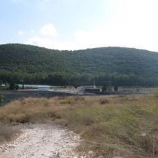
Mount Horshan Reserve
2.2 km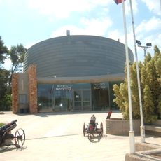
The Gunner Museum
4.4 km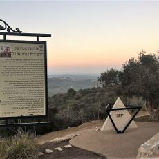
Yaakov Mrvica Memorial
4.5 km
Shemurat Bureqa
2.3 km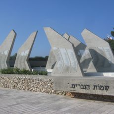
Memorial to the Fallen of the Artillery Corps (IDF)
4.5 km
Givat Cefi
3 km
Shemurat Ya‘ar Allona
2.5 km
הר חורשן מפגש שבילים מתחת לחרבת טאטא. מקום יפה לקפה
2.1 km
Memorial to Zichron Yaacov War Dead
4.5 km
חרבת טאטא
2.1 km
חוות הנדיב
4.2 km
ההר העגול ראובן גלקין
3 km
עין צברים
2.4 km
Monument
3 km
מחצבה עתיקה
3.1 km
גשר צריחים
3.6 km
Scenic viewpoint
3.6 km
הנדיב על גלגלים
4.2 km
חרבת צברין
2.5 km
הבאר
4.2 km
Tel Tzur monument
4.4 km
Beit Nir
4.4 km
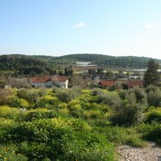
Es Sindiyana
1.1 km
סווידה
939 m
Mey Kedem
775 m
אנדרטת חיל התותחנים
4.5 km
אלסנדיאנה
661 mReviews
Visited this place? Tap the stars to rate it and share your experience / photos with the community! Try now! You can cancel it anytime.
Discover hidden gems everywhere you go!
From secret cafés to breathtaking viewpoints, skip the crowded tourist spots and find places that match your style. Our app makes it easy with voice search, smart filtering, route optimization, and insider tips from travelers worldwide. Download now for the complete mobile experience.

A unique approach to discovering new places❞
— Le Figaro
All the places worth exploring❞
— France Info
A tailor-made excursion in just a few clicks❞
— 20 Minutes