
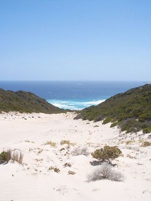
Fosters Beach descent
Location: Bremer Bay
Location: Shire Of Jerramungup
Website: https://www.bushtrax.com/images/bremerbay/orignal/bb65.jpg
Website: https://bushtrax.com/images/bremerbay/orignal/bb65.jpg
GPS coordinates: -34.49942,119.23822
Latest update: November 23, 2025 21:58

Blossoms Beach
12.8 km
Banky Beach
15.2 km
Stream Beach
3.8 km
Reef Beach
12.3 km
Foster Beach
997 m
Dillon Beach
6.9 km
Native Dog Beach
12.1 km
Original Wellstead Home
13.5 km
Wellsteads' Homestead Group
13.5 km
Reef Beach
12.2 km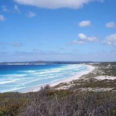
Scenic viewpoint
11.6 km
Little Boat Harbour
11.9 km
Blossoms Beach Track
12.5 km
Stream Beach
3.8 km
Dillion Beach
8.5 km
Dillion Beach
4.9 km
Fosters Beach
2.6 km
Banky Beach
14.8 km
Native Dog Beach Road
12.3 km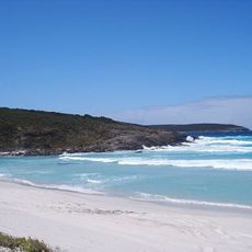
Scenic viewpoint
11.5 km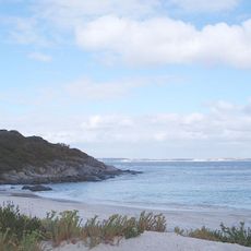
Little Boatharbour
11.9 km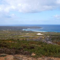
Coastal Vista
13.8 km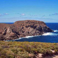
Sparkling Island
12 km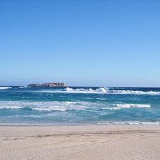
Reef Beach
12 km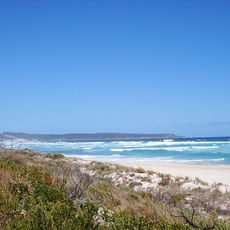
Fosters Beach
5.4 km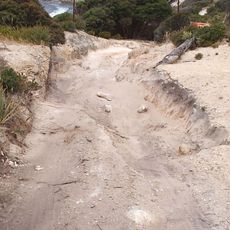
Rough hill climb
4.4 km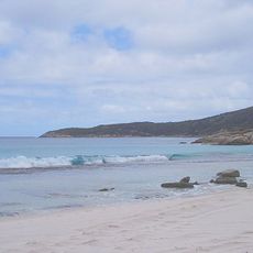
Stream Beach
3.8 km
Scenic viewpoint
12.4 kmReviews
Visited this place? Tap the stars to rate it and share your experience / photos with the community! Try now! You can cancel it anytime.
Discover hidden gems everywhere you go!
From secret cafés to breathtaking viewpoints, skip the crowded tourist spots and find places that match your style. Our app makes it easy with voice search, smart filtering, route optimization, and insider tips from travelers worldwide. Download now for the complete mobile experience.

A unique approach to discovering new places❞
— Le Figaro
All the places worth exploring❞
— France Info
A tailor-made excursion in just a few clicks❞
— 20 Minutes