
Foster Beach, Strand in Australien
Location: Western Australia
Elevation above the sea: 2 m
GPS coordinates: -34.50528,119.23000
Latest update: April 8, 2025 01:39
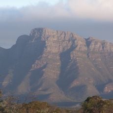
Bluff Knoll
90.6 km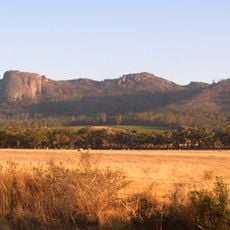
Porongurup National Park
122.5 km
Two Peoples Bay Nature Reserve
111.2 km
Fitzgerald River National Park
58.8 km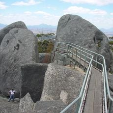
Castle Rock
121.9 km
Bremer Marine Park
68.3 km
Waychinicup National Park
89 km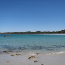
Gull Rock National Park
122.5 km
The Lily
98.4 km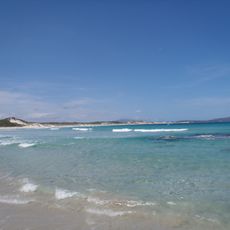
Nanarup Beach
118.7 km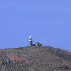
Breaksea Island Lighthouse
124.1 km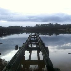
Government Jetty, Albany
124.8 km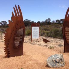
Cocanarup Memorial
118 km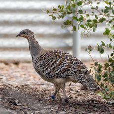
Yongergnow Australian mallee Fowl Centre
91.8 km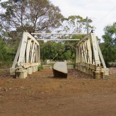
Lower Kalgan Bridge Trusses
124.8 km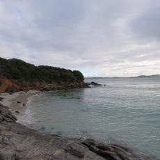
Gull Rock Beach
125.8 km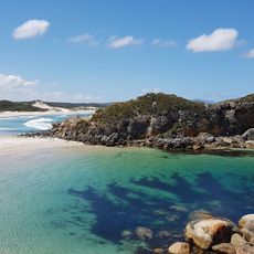
Nanarup Beach
117.9 km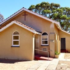
St David's Anglican Church, Borden
101 km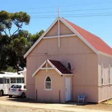
Gnowangerup Uniting Church
129 km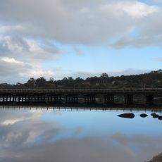
Lower King Bridge
127 km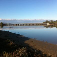
Lower Kalgan River Bridge & Jetty Group
124.7 km
Quaalup Homestead Group, near Bremer Bay
31.9 km
Lucinda Tanks
115.9 km
Tree-in-the-Rock, Porongurup National Park
125.9 km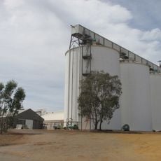
Ravensthorpe grain receival point
127 km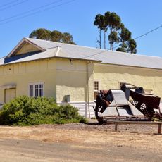
Borden Agricultural Hall
101.2 km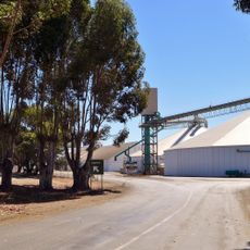
Borden grain receival point
101.4 km
Lower Kalgan Bridge
124.7 kmReviews
Visited this place? Tap the stars to rate it and share your experience / photos with the community! Try now! You can cancel it anytime.
Discover hidden gems everywhere you go!
From secret cafés to breathtaking viewpoints, skip the crowded tourist spots and find places that match your style. Our app makes it easy with voice search, smart filtering, route optimization, and insider tips from travelers worldwide. Download now for the complete mobile experience.

A unique approach to discovering new places❞
— Le Figaro
All the places worth exploring❞
— France Info
A tailor-made excursion in just a few clicks❞
— 20 Minutes