
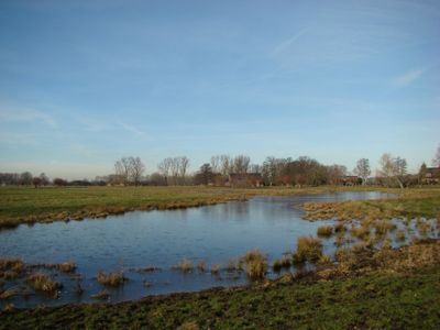
Scenic viewpoint
Location: Region Kempen-Viersen
Website: https://lh5.googleusercontent.com/p/AF1QipPfSQjNrD511Y5tkpjaUG409fScl_kpuzyKHA1q=h1440
Website: https://lh5.googleusercontent.com/p/AF1QipPfSQjNrD511Y5tkpjaUG409fScl_kpuzyKHA1q=h1440
GPS coordinates: 51.27647,6.41784
Latest update: November 23, 2025 11:42
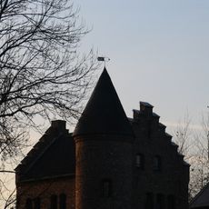
Haus Donk
2.1 km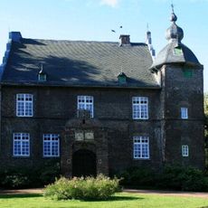
Haus Stockum
2.2 km
Clörather Mühle
306 m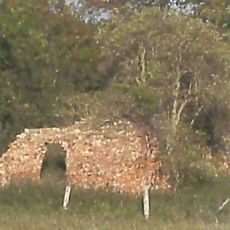
Haus Clörath
337 m
Salbruch
408 m
Rintger Bruch
2.2 km
Gibbermühle
2.5 km
Schricksmühle
1.9 km
Biestenmühle
2.4 km
Vennbruch
1.9 km
LSG-Rietbruch
1.4 km
LSG-Floethbach
1.6 km
Kleines Wiesenstück
156 m
Wegekreuz Tönisvorster Straße
2.4 km
Steinkreis
2.3 km
GeschichtsLandschaften Station 5
2 km
Nepomuk-Kapelle
2.5 km
Wayside cross, Christianity, Catholic church building
2.3 km
Wayside shrine, Christianity, Catholic church building
1.3 km
Schützenbaum
2 km
Memorial
2.2 km
Kriegerdenkmal
2 km
Kriegerdenkmal
2.5 km
Missionskreuz
780 m
War memorial, memorial
2.1 km
Christianity, Catholic church building, wayside cross
2.1 km
Memorial, war memorial
2.1 km
Catholic church building, wayside cross, Christianity
1.9 kmReviews
Visited this place? Tap the stars to rate it and share your experience / photos with the community! Try now! You can cancel it anytime.
Discover hidden gems everywhere you go!
From secret cafés to breathtaking viewpoints, skip the crowded tourist spots and find places that match your style. Our app makes it easy with voice search, smart filtering, route optimization, and insider tips from travelers worldwide. Download now for the complete mobile experience.

A unique approach to discovering new places❞
— Le Figaro
All the places worth exploring❞
— France Info
A tailor-made excursion in just a few clicks❞
— 20 Minutes