
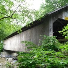
Brown Covered Bridge
13.2 km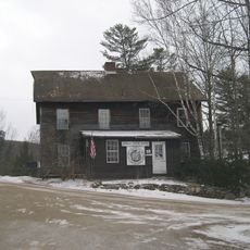
Crowley Cheese Factory
13.3 km
Clarendon House
12.5 km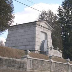
Laurel Glen Mausoleum-Laurel Hall
6.7 km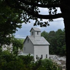
Kingsley Grist Mill Historic District
8.3 km
Wallingford Main Street Historic District
3.4 km
Chaos Canyon
5.6 km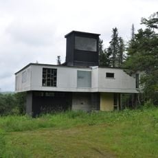
Anthony Scoville House
9.6 km
Lower Clarendon Gorge State Forest
7.5 km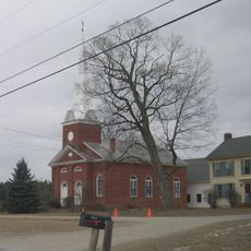
The Brick Church
7.9 km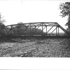
Cold River Bridge
13.5 km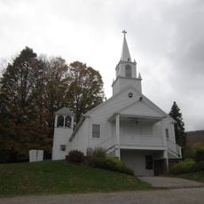
Tinmouth Historic District
8.4 km
White Rocks National Recreation Area
8 km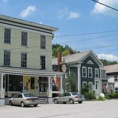
Danby Village Historic District
12 km
Green Mountain Cottage
11 km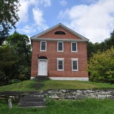
Gen. Robinson Hall House
4 km
Rural Otter Creek Valley Historic District
3.2 km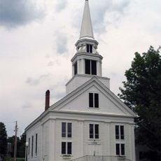
Middletown Springs Historic District
14.3 km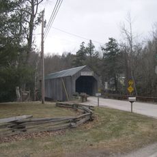
Kingsley Covered Bridge
8.3 km
Devils Den Rock Formation
12.9 km
Honey Pond Farm Golf Course
13.3 km
Airport Driving Range
10.5 km
White Rocks
604 m
Scenic viewpoint
5.8 km
Doomed Ledge
1.9 km
Scenic viewpoint
9.3 km
Scenic viewpoint
9.4 km
Scenic viewpoint
6 kmReviews
Visited this place? Tap the stars to rate it and share your experience / photos with the community! Try now! You can cancel it anytime.
Discover hidden gems everywhere you go!
From secret cafés to breathtaking viewpoints, skip the crowded tourist spots and find places that match your style. Our app makes it easy with voice search, smart filtering, route optimization, and insider tips from travelers worldwide. Download now for the complete mobile experience.

A unique approach to discovering new places❞
— Le Figaro
All the places worth exploring❞
— France Info
A tailor-made excursion in just a few clicks❞
— 20 Minutes