מצפור אוכברג
Location: מועצה אזורית מגידו
GPS coordinates: 32.60283,35.09397
Latest update: October 24, 2025 18:54
Jo'ara
1.4 km
פארק רמות מנשה
2.7 km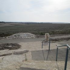
Ochberg Lookout
0 m
Givat Kipod
3.2 km
Me‘arat Neẖila
2.2 km
Ramat Menashe
1.8 km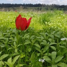
הפינה של בלו
2.4 km
Shemurat Naẖal Daliyya WeYuvalew
2.3 km
עץ אולמוס עתיק על גדות הנחל. זולה סודית לרגיעה בצמוד לדרך העפר על גדת הנחל. יש זרימה גם בסוף מאי
1.4 km
Shemurat Naẖal HaShofet
2 km
מצפה איתי
3.3 km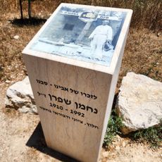
פינת המכוורת
696 m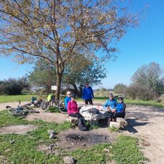
הר השולחן
2.6 km
טחנת קמח
2.3 km
Memorial
2.7 km
טחנת קמח
2 km
Scenic viewpoint
2.5 km
טיקטין וקורנגולד
1.9 km
דליה לים
2.6 km
אמפיתאטרון דליה
2.7 km
תצפית
2.3 km
שלמה קורץ וליאור צ׳רן
1.7 km
הר הקברות
3 km
תל פרור
3 km
מגדל הדבורים
1.4 km
הפינה של יובל יפה
1.3 km
Scenic viewpoint
3.4 km
Dubi's ranch
3.4 kmReviews
Visited this place? Tap the stars to rate it and share your experience / photos with the community! Try now! You can cancel it anytime.
Discover hidden gems everywhere you go!
From secret cafés to breathtaking viewpoints, skip the crowded tourist spots and find places that match your style. Our app makes it easy with voice search, smart filtering, route optimization, and insider tips from travelers worldwide. Download now for the complete mobile experience.

A unique approach to discovering new places❞
— Le Figaro
All the places worth exploring❞
— France Info
A tailor-made excursion in just a few clicks❞
— 20 Minutes