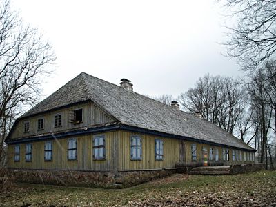
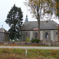
Šateikiai manor
Šateikiai manor is a former noble residence from the 17th century with an associated park near Plungė. The complex includes multiple buildings such as a main house, orangery, and farm structures that reflect different periods of construction.
The estate was first mentioned in 1594 and remained under the ownership of prominent families including the Scalvidi, Sverin, and Plater dynasties. In the 19th century it underwent expansion with new artistic rooms before later declining through wars and neglect.
The manor served as a social hub where noble families gathered with visitors for events and meetings. The remaining structures and park continue to reflect this past role in the region's community life.
The best time to visit is from May to October when the park is more accessible and weather is mild. Wear comfortable shoes since many paths and areas have uneven terrain and some structures are still open to explore.
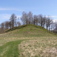
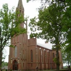
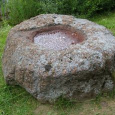
The park spans about 5 hectares and contains a rare European chestnut tree that blends into the natural surroundings. Local legends speak of a hidden tunnel that supposedly connected the manor to the nearby Saint Mark's Church.
The community of curious travelers
AroundUs brings together thousands of curated places, local tips, and hidden gems, enriched daily by 60,000 contributors worldwide.