
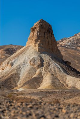
עמוד סלע
Location: מועצה אזורית הערבה התיכונה
GPS coordinates: 30.63710,35.09337
Latest update: October 25, 2025 11:11
Moa (Nabataeans city)
12.5 km
Israel Antelope Ranch
10.8 km
Nekarot fortress
10 km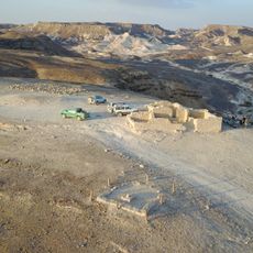
חורבת קצרה
8.6 km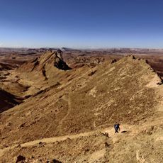
תצפית לכרבולת חררים
11.2 km
ה"גלידה"
6.7 km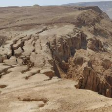
סדקים
2.9 km
Waterfall
3.7 km
סדקים
3.6 km
גב חולית
4.5 km
Waterfall
4.6 km
Waterfall
5.7 km
קמט
6 km
Waterfall
6.1 km
Waterfall
4.5 km
מצד עין רחל
7.5 km
אנדרטת שמוליק לוי
7.9 km
מאגורת קצרה
8.1 km
מפל צבירה
4.5 km
מצד משא
8.7 km
קשת טבעית
3.5 km
Sculpture park
10.5 km
יאיר טויטו
10.7 km
Antilope Ranch
10.8 km
Waterfall
3.4 km
סכין אנמר נקרות
2.9 km
חאן דרך הבשמים
11.2 km
Scenic viewpoint
2.7 kmReviews
Visited this place? Tap the stars to rate it and share your experience / photos with the community! Try now! You can cancel it anytime.
Discover hidden gems everywhere you go!
From secret cafés to breathtaking viewpoints, skip the crowded tourist spots and find places that match your style. Our app makes it easy with voice search, smart filtering, route optimization, and insider tips from travelers worldwide. Download now for the complete mobile experience.

A unique approach to discovering new places❞
— Le Figaro
All the places worth exploring❞
— France Info
A tailor-made excursion in just a few clicks❞
— 20 Minutes