
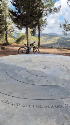
"פשוט מקום" - באדיבות קק"ל
Location: מועצה אזורית מטה יהודה
GPS coordinates: 31.73150,35.11057
Latest update: October 25, 2025 11:12
Betar
2.4 km
Yad Kennedy
3 km
Arthur Rubinstein lookout
3 km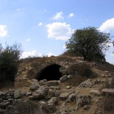
Hurvat Saadim
2.8 km
Har Aminadav
3.3 km
Palestine: Land of Olives and Vines – Cultural Landscape of Southern Jerusalem, Battir
2.3 km
Shemurat Har Giyyora
3 km
Shemurat H̱orbat Se‘adim
2.9 km
גת
2.2 km
Ruins
3.1 km
אנדרטת הפרובינציות של קנדה
2.7 km
גת
2.2 km
Ruins
2.9 km
חורבת בית סקיה
1.9 km
אבן ריחיים
2.9 km
Ruins
2.9 km
חורבת כפר צום
1.7 km
אנדרטת מבצע לולב
1.3 km
Scenic viewpoint
1.3 km
חוות הגתות
2.3 km
מצפור נוף ברושים
3.1 km
שייח מרזוק
3.1 km
Tomb, rock-cut tomb
3.2 km
Archaeological site
3.2 km
מצפה ביתר
3.2 km
Ruins
3.2 km
Ruins
3.2 km
חורבת קובי
970 mReviews
Visited this place? Tap the stars to rate it and share your experience / photos with the community! Try now! You can cancel it anytime.
Discover hidden gems everywhere you go!
From secret cafés to breathtaking viewpoints, skip the crowded tourist spots and find places that match your style. Our app makes it easy with voice search, smart filtering, route optimization, and insider tips from travelers worldwide. Download now for the complete mobile experience.

A unique approach to discovering new places❞
— Le Figaro
All the places worth exploring❞
— France Info
A tailor-made excursion in just a few clicks❞
— 20 Minutes