
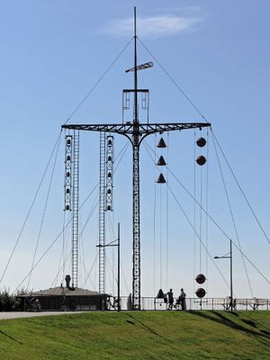
Wasserstandsanzeiger
Location: Stadtbezirk Bremerhaven-Nord
Location: Bremerhaven
Website: https://www.flickr.com/photos/33766294@N03/28303215550
Operator: Deutsches Schifffahrtsmuseum
Website: https://flickr.com/photos/33766294@N03/28303215550
GPS coordinates: 53.53802,8.57791
Latest update: November 21, 2025 00:24
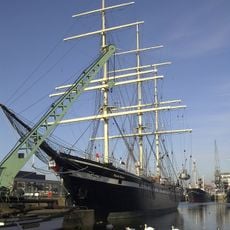
Seute Deern
289 m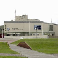
German Shipping Museum
254 m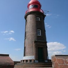
Leuchtturm Geestemole Nord
316 m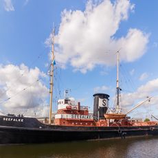
Seefalke
274 m
Bürgermeister Abendroth
306 m
Hans Lüken
91 m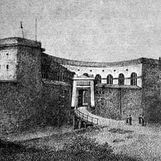
Fort Wilhelm
56 m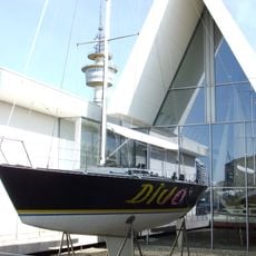
Diva
164 m
Wasserstandsanzeiger Bremerhaven
3 m
Bootsschuppen Bremerhaven
67 m
Zollhaus
138 m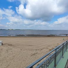
Weser-Strandbad
61 m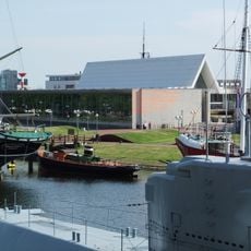
Schiffahrtsmuseum, Anbau
127 m
Atelier Wilke
86 m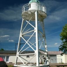
Old Sandstedt range light
112 m
Dampf-Rangier-Kran
191 m
Handkurbelkran
251 m
Laterne vom Feuerschiff FEHMARNBELT
258 m
Schornstein der Otto Hahn
203 m
Walter Antrieb
236 m
Windrose
162 m
Deichpromenade Bremerhaven
257 m
Paul Kossel
330 m
WSS 10
306 m
Hafenglocke
143 m
Erich-Koch-Weser Statue
298 m
Scenic viewpoint
298 m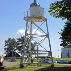
Altes Unterfeuer Sandstedt
112 mReviews
Visited this place? Tap the stars to rate it and share your experience / photos with the community! Try now! You can cancel it anytime.
Discover hidden gems everywhere you go!
From secret cafés to breathtaking viewpoints, skip the crowded tourist spots and find places that match your style. Our app makes it easy with voice search, smart filtering, route optimization, and insider tips from travelers worldwide. Download now for the complete mobile experience.

A unique approach to discovering new places❞
— Le Figaro
All the places worth exploring❞
— France Info
A tailor-made excursion in just a few clicks❞
— 20 Minutes