
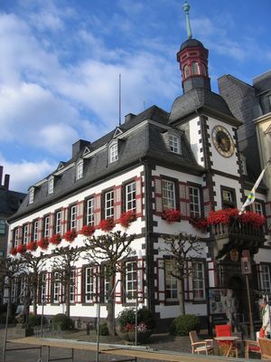
Altes Rathaus
Location: Mayen
Inception: January 1, 1717
GPS coordinates: 50.32883,7.22197
Latest update: November 21, 2025 08:59
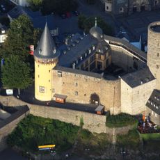
Genovevaburg
308 m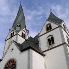
St. Clemens
147 m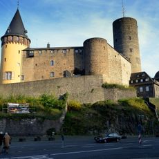
Deutsches Schieferbergwerk
271 m
Herz-Jesu-Kirche (Mayen)
197 m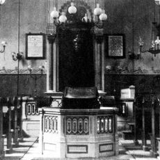
Synagoge (Mayen)
184 m
Terra Vulcania
1.2 km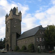
Obertor
251 m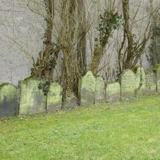
Jewish cemetery, Mayen
601 m
Marktbrunnen
196 m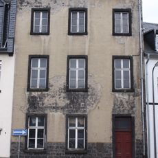
Jüdisches Schulhaus
166 m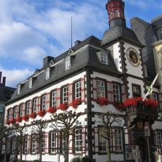
Altes Rathaus
1 m
Augustinerchorherrenstift, dann Kollegiatstift St. Clemens, Mayen
146 m
Wasserrutsche
625 m
Work of art, sculpture
276 m
Obertor
250 m
Dem Steinhalter
162 m
Stein der drei Affen
779 m
Echter Mayener Jung
15 m
Lewe Mayener Mädchen
10 m
Brückentor
286 m
Sculpture, Work of art
1.3 km
Work of art, sculpture
783 m
Scenic viewpoint
739 m
Scenic viewpoint
1.2 km
Knüppchenkreuz
742 m
Wayside cross
1.2 km
Kriegerdenkmal
323 m
Stele, memorial
331 mReviews
Visited this place? Tap the stars to rate it and share your experience / photos with the community! Try now! You can cancel it anytime.
Discover hidden gems everywhere you go!
From secret cafés to breathtaking viewpoints, skip the crowded tourist spots and find places that match your style. Our app makes it easy with voice search, smart filtering, route optimization, and insider tips from travelers worldwide. Download now for the complete mobile experience.

A unique approach to discovering new places❞
— Le Figaro
All the places worth exploring❞
— France Info
A tailor-made excursion in just a few clicks❞
— 20 Minutes