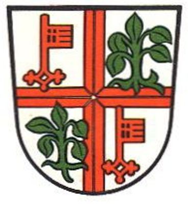
Mayen, Administrative center in Mayen-Koblenz district, Germany
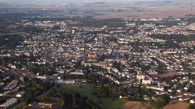
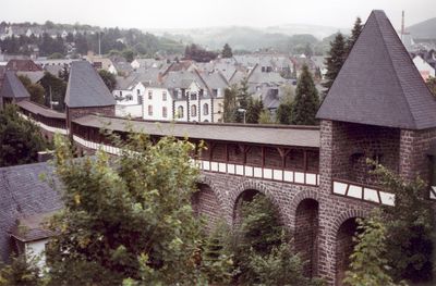
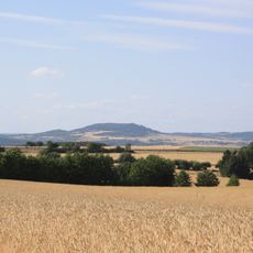
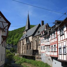
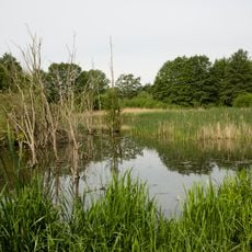
Mayen is a town in the Mayen-Koblenz district of Rhineland-Palatinate, made up of five settlements across the Volcanic Eifel region. The municipal area spreads over a hilly landscape at around 230 meters (755 feet) elevation, with forests and open fields between the communities.
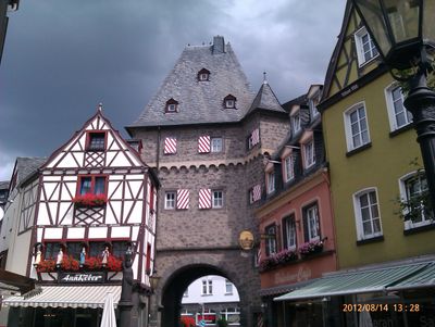
The settlement was known as Megina during Roman times and received town rights in 1291 under Rudolf I of Habsburg. Following the destruction of nine-tenths of its buildings in the Second World War, today's built environment emerged through postwar reconstruction.
The town takes its name from the Roman settlement Megina, reminding visitors of centuries of continuity. Today local festivals such as Lukasmarkt and the Stone Festival bring residents together to honor the craft traditions passed down through generations.
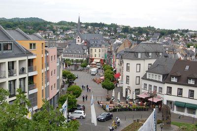
The town sits along motorways A61 and A48 and is well connected by regular bus lines and Trans Regio train services. Visitors can explore the five settlements on foot or by car, finding parking and signposted routes in the central area.
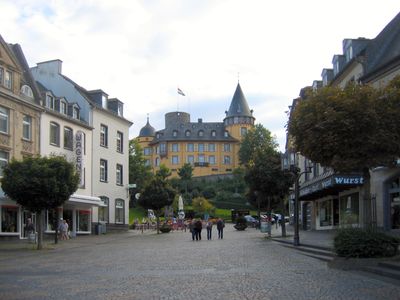
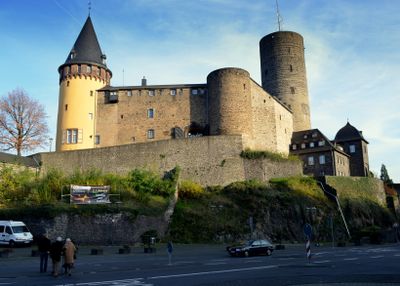
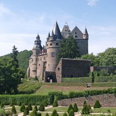
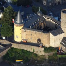
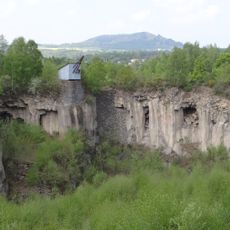
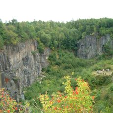
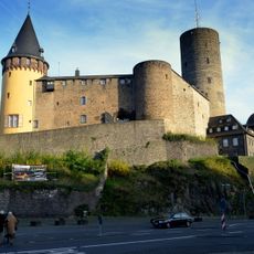
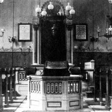
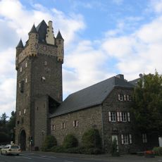
The Genovevaburg castle from the 13th century houses two museums under one roof: the Eifel Museum on regional history and the Slate Mining Museum on industrial heritage. This pairing within the thick castle walls brings natural and cultural history together in a single location.
The community of curious travelers
AroundUs brings together thousands of curated places, local tips, and hidden gems, enriched daily by 60,000 contributors worldwide.