Vulkanpark-Radweg, Radwanderweg zwischen Mayen und Andernach
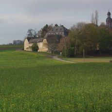
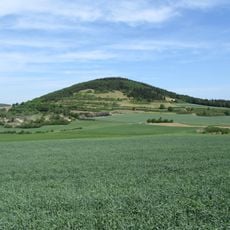
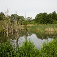
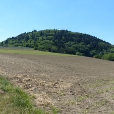
The Vulkanpark-Radweg is a bike route of about 33 kilometers running from Mayen to Andernach through the East Eifel region, passing through hills, fields, and small villages. The path consists mostly of paved roads and minor streets with gentle slopes, making it suitable for families and less experienced riders.
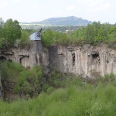
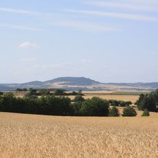
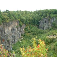
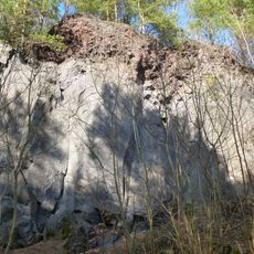
The region was shaped by volcanic eruptions millions of years ago, and later Romans extracted tuff stone from mines such as the Romerbergwerk in Kretz. Mayen developed as a center of mining and ceramic production, while the landscape remained marked by this volcanic past across thousands of years.
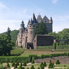
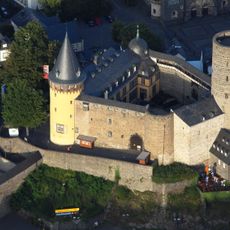
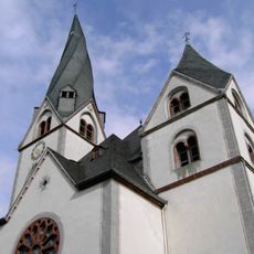
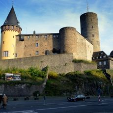
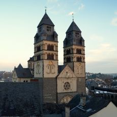
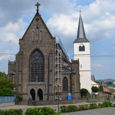
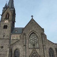
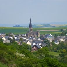
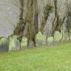
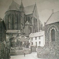
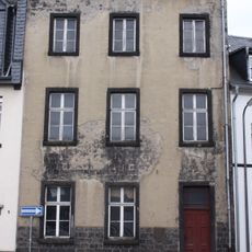
The route links two towns with distinct identities: Mayen reflects a tradition of mining and pottery craft, while Andernach is known for its spectacular geyser. Small villages along the way show how local communities have adapted to living in a landscape shaped by volcanic activity.
The route is easy to ride and takes about four hours, making it a good day trip, and multiple train stations along the way offer flexible starting and ending points. Along the path you will find regular cafes and food stands where you can rest and get refreshments.
Along the route are several underground lava caves and stone tunnels in Mendig that were once used for basalt mining and are today among the largest underground basalt caverns in the world. These hidden tunnels show how mining has permanently shaped the landscape and are accessible to visitors.
The community of curious travelers
AroundUs brings together thousands of curated places, local tips, and hidden gems, enriched daily by 60,000 contributors worldwide.