High water mark
Location: Yass
Location: Yass Valley Council
GPS coordinates: -34.83966,148.91049
Latest update: November 21, 2025 20:36
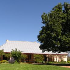
Cooma Cottage
4.3 km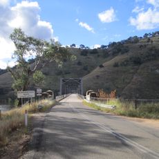
Taemas Bridge
19.5 km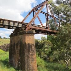
Yass River railway bridge
390 m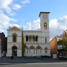
Yass Post Office
243 m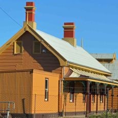
Yass Town railway station
596 m
Greater Burrinjuck Dam Site
30.3 km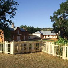
Cooma Cottage
4.3 km
Victoria Park
893 m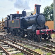
Yass Railway Museum
547 m
Burrinjuck Reservoir
23.1 km
Burrinjuck Waters Park
31 km
John O'Brien Park
1.8 km
Banjo Paterson Park
154 m
Burrinjuck Waters State Park
31 km
Murrumbateman observatory
15.5 km
Heaven's Mirror Observatory
6.6 km
Annual Murumbateman Field Day
18.4 km
Lake Burrinjuck Leisure Resort
17.2 km
Binalong Golf Club
30.3 km
The Crisp Galleries
16.9 km
Shaw wines
18.4 km
Murrumbateman Bush Cemetery Water Tank
17.5 km
Yass Valley Visitor Information Centre
895 m
Work of art, sculpture
1.2 km
Yass Cenotaph
204 m
High water mark
1 m
High water mark
1 m
Waterfall
28.8 kmReviews
Visited this place? Tap the stars to rate it and share your experience / photos with the community! Try now! You can cancel it anytime.
Discover hidden gems everywhere you go!
From secret cafés to breathtaking viewpoints, skip the crowded tourist spots and find places that match your style. Our app makes it easy with voice search, smart filtering, route optimization, and insider tips from travelers worldwide. Download now for the complete mobile experience.

A unique approach to discovering new places❞
— Le Figaro
All the places worth exploring❞
— France Info
A tailor-made excursion in just a few clicks❞
— 20 Minutes