Wayside shrine
Location: Sankt Paul im Lavanttal
GPS coordinates: 46.68386,14.80259
Latest update: November 3, 2025 15:11
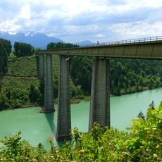
Jauntalbrücke
4.2 km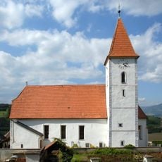
Saint Martin Church
3.8 km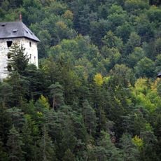
Ruine Weissenegg
2.7 km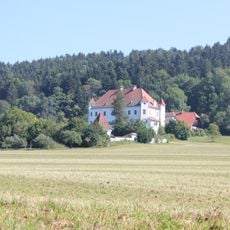
Schloss Ehrnegg
2.6 km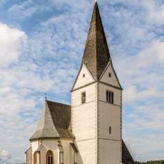
Pfarrkirche in Ruden
3.6 km
Filialkirche St. Radegund (Ruden)
2.6 km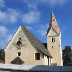
Pfarrkirche in St Nikolai
3.5 km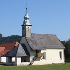
Kirche Lind bei Griffen
2.6 km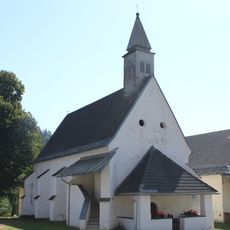
Kirche Sankt Kollmann
3.2 km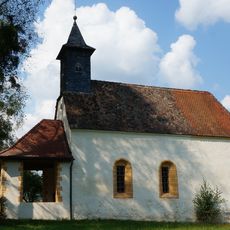
Filialkirche hl. Michael, Unternberg
4.3 km
Tiefenbachbrücke Ruden
4.8 km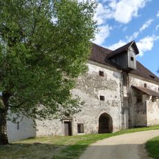
Meierhof of Schloss Kollnitz
4.8 km
MUAB Museum am Bach
4.9 km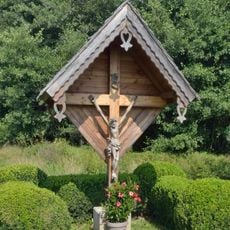
Crucifix near Lienze, Ruden, Carinthia
4.3 km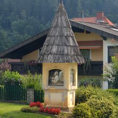
Bildstock in Ruden
4.1 km
Pfarrhof St. Martin
3.9 km
Wayside shrine
2.8 km
Wayside shrine
4.1 km
Catholic church building, wayside cross, Christianity
4.1 km
Wayside cross
4 km
Scenic viewpoint
4.2 km
Scenic viewpoint
4.2 km
Place of worship, wayside shrine, house of prayer
3.2 km
Fürpaßkreuz
2.9 km
Radinkreuz
4.8 km
Wayside shrine
2.8 km
Wayside shrine
2.7 km
Wayside shrine
2.6 kmReviews
Visited this place? Tap the stars to rate it and share your experience / photos with the community! Try now! You can cancel it anytime.
Discover hidden gems everywhere you go!
From secret cafés to breathtaking viewpoints, skip the crowded tourist spots and find places that match your style. Our app makes it easy with voice search, smart filtering, route optimization, and insider tips from travelers worldwide. Download now for the complete mobile experience.

A unique approach to discovering new places❞
— Le Figaro
All the places worth exploring❞
— France Info
A tailor-made excursion in just a few clicks❞
— 20 Minutes