Wayside shrine
Location: Hadersdorf-Kammern
GPS coordinates: 48.44529,15.71372
Latest update: November 3, 2025 14:33
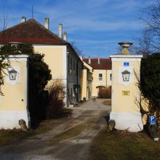
Schloss Walkersdorf
1.4 km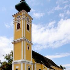
Saints Peter and Paul Church (Hadersdorf am Kamp)
1.5 km
Hadersdorf am Kamp Sachsenberg
356 m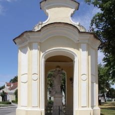
Saint John of Nepomuk Chapel
1.5 km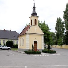
Ortskapelle
1.4 km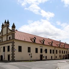
Rathaus/Gemeindeamt
1.5 km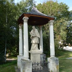
Bildstock Nepomuk Hadersdorf
1.1 km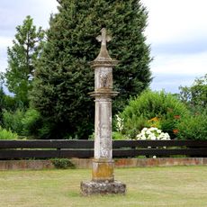
Bildstock
1.3 km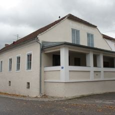
Gasthof Hohlnstein
1.4 km
Find spot Bahnhof Hadersdorf am Kamp
153 m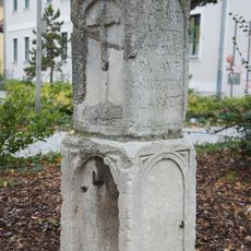
Bildstock
1.5 km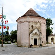
Ossuary (Hadersdorf am Kamp)
1.5 km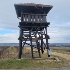
Observation tower Gobelsberg
1.3 km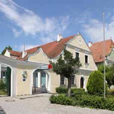
Bürgerhaus
1.5 km
Railway bridge Hadersdorf am Kamp
966 m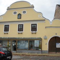
Bürgerhaus
1.5 km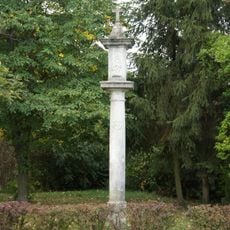
Bildstock, Müllerkreuz
1.3 km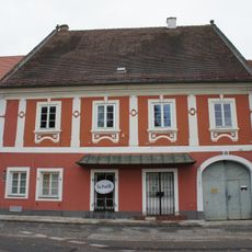
Bürgerhaus
1.5 km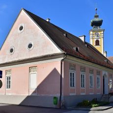
Wohnhaus und Wirtschaftsgebäude
1.5 km
Wayside shrine
1.2 km
Wayside cross
1 km
Wayside shrine, Christianity
1.1 km
Wayside shrine
987 m
Hadersdorfer Sommerbad
1.2 km
Wayside shrine
441 m
Wayside shrine
1.3 km
Wayside cross
348 m
Wayside shrine
274 mReviews
Visited this place? Tap the stars to rate it and share your experience / photos with the community! Try now! You can cancel it anytime.
Discover hidden gems everywhere you go!
From secret cafés to breathtaking viewpoints, skip the crowded tourist spots and find places that match your style. Our app makes it easy with voice search, smart filtering, route optimization, and insider tips from travelers worldwide. Download now for the complete mobile experience.

A unique approach to discovering new places❞
— Le Figaro
All the places worth exploring❞
— France Info
A tailor-made excursion in just a few clicks❞
— 20 Minutes