
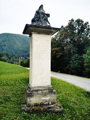
Wayside shrine
Location: Raach am Hochgebirge
GPS coordinates: 47.64889,15.91961
Latest update: November 3, 2025 15:26
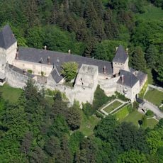
Burg Wartenstein
194 m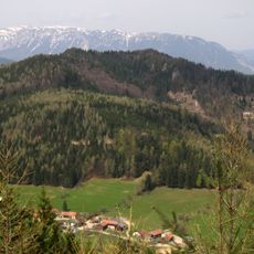
Grasberg
1.8 km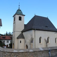
Saint Giles, Raach am Hochgebirge
1 km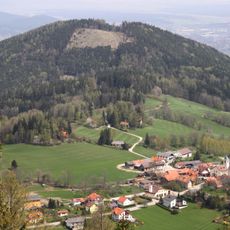
Raachberg
1.6 km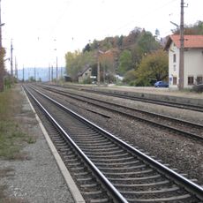
Südbahnstrecke Semmering-Bahn (Gloggnitz-Mürzzuschlag)
1.8 km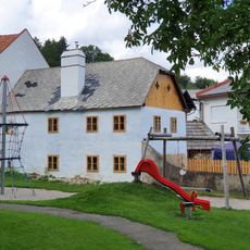
Wohnhaus
1 km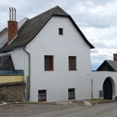
Ehem. Pfarrhof/Kindergarten
1.1 km
Wayside shrine
2 km
Kobermannkreuz
1.6 km
Weitblick
1.1 km
Memorial stone, memorial
1.4 km
Wayside cross
1.4 km
Wayside shrine
1.4 km
Bench, scenic viewpoint
1.4 km
Wayside cross
1.6 km
Wayside cross
621 m
Wayside cross, tree, deciduous forest
1.8 km
Work of art, sculpture
1.1 km
Wayside cross
1.8 km
Martin Romstorfer
1 km
Blick nach Klamm
256 m
Wayside cross
646 m
Gailhoferkapelle
1.9 km
Wayside shrine, Christianity
2 km
Wayside shrine
2 km
Wayside cross
1.7 km
Großer Otter
2.2 km
I
2.2 kmReviews
Visited this place? Tap the stars to rate it and share your experience / photos with the community! Try now! You can cancel it anytime.
Discover hidden gems everywhere you go!
From secret cafés to breathtaking viewpoints, skip the crowded tourist spots and find places that match your style. Our app makes it easy with voice search, smart filtering, route optimization, and insider tips from travelers worldwide. Download now for the complete mobile experience.

A unique approach to discovering new places❞
— Le Figaro
All the places worth exploring❞
— France Info
A tailor-made excursion in just a few clicks❞
— 20 Minutes