Wayside cross
Location: Bad Gastein
Made from material: wood
GPS coordinates: 47.05937,13.05718
Latest update: November 20, 2025 15:03
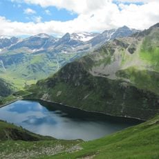
Unterer Bockhartsee
1.9 km
Silberpfennig
3.5 km
Naßfeldalm
826 m
Untere Astenalm
3.4 km
Salesenkogel
2.7 km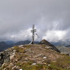
Kreuzkogel
3.3 km
Station I, Talstation Doppelsesselbahn-Schideck
366 m
Station II, Station über dem Antriebsgebäude Doppelsesselbahn-Schideck
1.5 km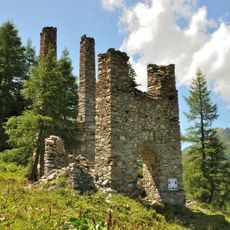
Ehem. Bergstation mit Achslagertürmen der Radhausbergbahn
3.4 km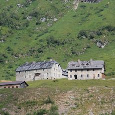
Knappenhäuser Sportgastein
393 m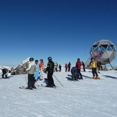
Station III, Beobachtungsstation Doppelsesselbahn-Schideck
3.1 km
Catholic church building, wayside cross, Christianity
1.1 km
Kesselfall
2.5 km
Harfen
1.4 km
Obere Astenalm
3.4 km
Wayside cross, Christianity, Catholic church building
1.8 km
Wayside shrine
897 m
Memorial, commemorative plaque
3.5 km
Bärenfall
1.1 km
Waterfall
2.1 km
Drache vom Bockhartsee
1.2 km
Schleierfall
1.3 km
Waterfall
2.2 km
Waterfall
2 km
Höllkarbach-Wasserfall
3.4 km
Waterfall
2.5 km
Waterfall
2.2 km
Waterfall
1.1 kmReviews
Visited this place? Tap the stars to rate it and share your experience / photos with the community! Try now! You can cancel it anytime.
Discover hidden gems everywhere you go!
From secret cafés to breathtaking viewpoints, skip the crowded tourist spots and find places that match your style. Our app makes it easy with voice search, smart filtering, route optimization, and insider tips from travelers worldwide. Download now for the complete mobile experience.

A unique approach to discovering new places❞
— Le Figaro
All the places worth exploring❞
— France Info
A tailor-made excursion in just a few clicks❞
— 20 Minutes