Wayside shrine
Location: Krems an der Donau
GPS coordinates: 48.40470,15.57704
Latest update: November 3, 2025 15:27
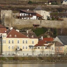
Ruine Stein
407 m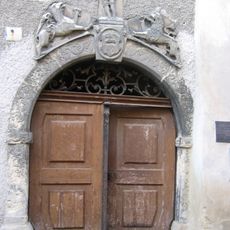
Holzingerhaus
413 m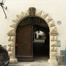
Holzingerhof, ehem. Brauhaus
405 m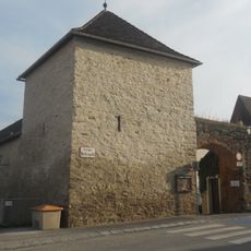
City walls of Stein an der Donau
357 m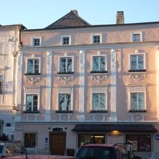
Apothekerhof
414 m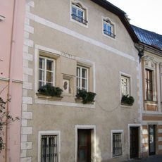
Bürgerhaus
423 m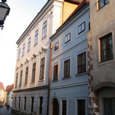
Bürgerhaus
416 m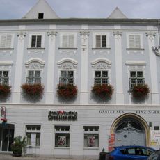
Einzingerhof
416 m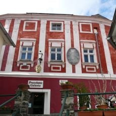
Ehem. Hauerhof
372 m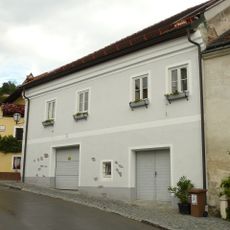
Wohnhaus
374 m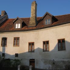
Wohnhaus
392 m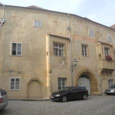
"Grüne Burg, Karlingerhof"
413 m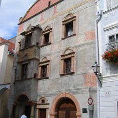
Piwetz-Haus, ehem. Landesfürstliches Mauthaus
413 m
Bürgerhaus
417 m
Bürgerhaus
412 m
Bürgerhaus
427 m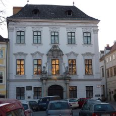
Sog. Mazzettihaus
424 m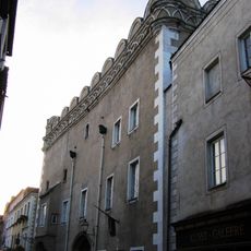
Großer Passauerhof
422 m
Kleiner Passauerhof
382 m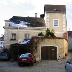
Bürgerhaus
415 m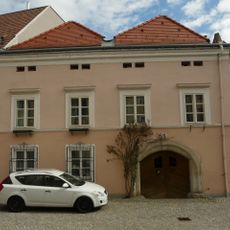
Bürgerhaus, Ehem. Gasthof "Zum goldenen Lamm"
420 m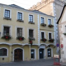
Bürgerhaus
420 m
Wayside shrine, Christianity
211 m
Lauscherkreuz
321 m
Rebentor
371 m
Wayside shrine
206 m
Scenic viewpoint
356 m
Scenic viewpoint
327 mReviews
Visited this place? Tap the stars to rate it and share your experience / photos with the community! Try now! You can cancel it anytime.
Discover hidden gems everywhere you go!
From secret cafés to breathtaking viewpoints, skip the crowded tourist spots and find places that match your style. Our app makes it easy with voice search, smart filtering, route optimization, and insider tips from travelers worldwide. Download now for the complete mobile experience.

A unique approach to discovering new places❞
— Le Figaro
All the places worth exploring❞
— France Info
A tailor-made excursion in just a few clicks❞
— 20 Minutes