Wayside shrine
Location: Krems an der Donau
GPS coordinates: 48.39668,15.56769
Latest update: November 3, 2025 14:53
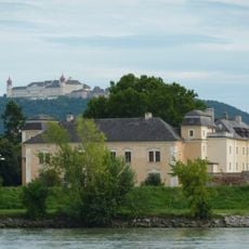
Schloss Mautern
629 m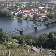
Mauterner Donaubrücke
557 m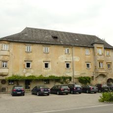
Förthof
164 m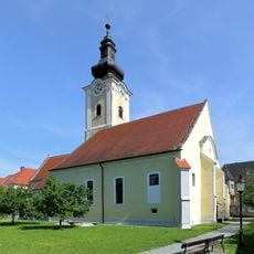
Pfarrkirche Mautern an der Donau
645 m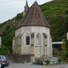
Förthofkapelle
219 m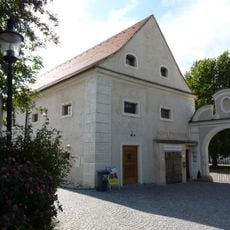
Ehem. Schüttkasten, sog. Römermuseum
588 m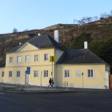
Ehemaliges Brückenmeisterhaus
658 m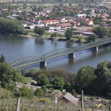
Straßenbrücke, Donaubrücke
564 m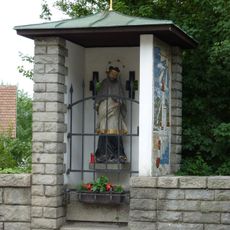
Figur hl. Johannes Nepomuk
625 m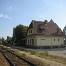
Stein-Mautern station building of the Wachauer Bahn
413 m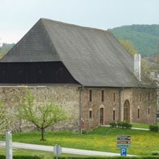
Römerhalle Mautern
577 m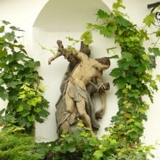
Figur hl. Sebastian
252 m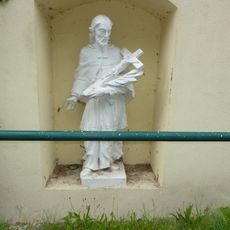
Bildstock Nepomuk Förthof
45 m
Wehranlage/befestigte Siedlung der Röm. Kaiserzeit, Zivilstadt Favianis, röm. Kastell
569 m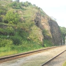
Eisenbahnstrecke der Wachauer Bahn
405 m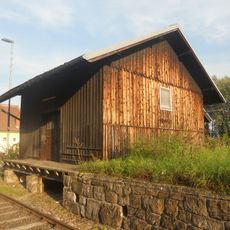
Goods building and loading platform at Stein-Mautern railway station
373 m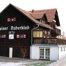
Haus des Steiner Ruderclubs
644 m
Jubiläumslinde
547 m
Sculpture, Work of art
545 m
Hufeisenturm
589 m
Schwellstein des Nordtores
604 m
Scenic viewpoint
473 m
Hl. Johannes Nepomuk
629 m
Catholic church building, wayside cross, Christianity
397 m
Severin
634 m
Memorial, commemorative plaque
635 m
Sculpture, Work of art
291 m
Hl. Sebastian
247 mReviews
Visited this place? Tap the stars to rate it and share your experience / photos with the community! Try now! You can cancel it anytime.
Discover hidden gems everywhere you go!
From secret cafés to breathtaking viewpoints, skip the crowded tourist spots and find places that match your style. Our app makes it easy with voice search, smart filtering, route optimization, and insider tips from travelers worldwide. Download now for the complete mobile experience.

A unique approach to discovering new places❞
— Le Figaro
All the places worth exploring❞
— France Info
A tailor-made excursion in just a few clicks❞
— 20 Minutes