Wayside shrine
Location: St. Veit an der Glan
GPS coordinates: 46.72332,14.31697
Latest update: November 19, 2025 09:19
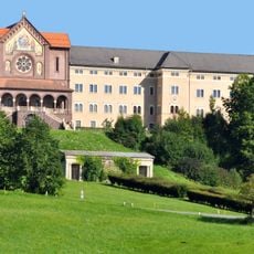
Tanzenberg Castle
2.5 km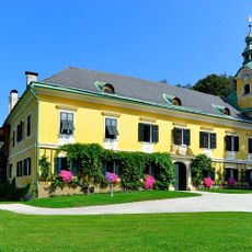
Schloss Karlsberg (Sankt Veit an der Glan)
736 m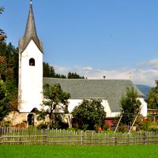
Pfarrkirche St. Rupertus in Projern
161 m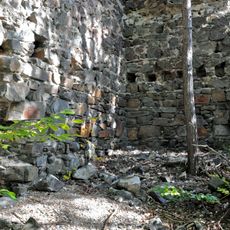
Burg Karlsberg, Kärnten
618 m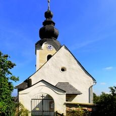
Pfarrkirche hl. Lambert, Pörtschach am Berg
2.6 km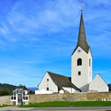
Pfarrkirche Hörzendorf
2.1 km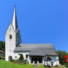
Saint Bartholomew Church (Liebenfels)
2.6 km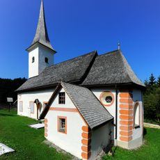
St. Martin
2.3 km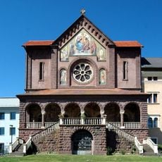
Pfarrkirche hl. Florian und hl. Josef in Tanzenberg
2.4 km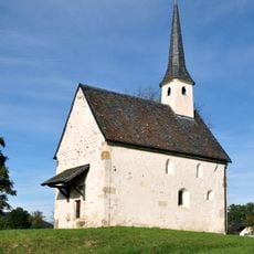
Filialkirche Streimberg
2.3 km
Karlsberg
724 m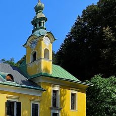
Schlosskapelle Karlsberg
736 m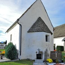
Karner Hörzendorf, Sankt Veit an der Glan
2.1 km
Pfarrhof Pörtschach am Berg, Maria Saal
2.6 km
Pfarrhof
187 m
Wayside shrine
2.4 km
Scenic viewpoint, bench
2.5 km
Wayside cross
2.3 km
Memorial, war memorial
2.6 km
Wayside cross
2.3 km
Scenic viewpoint
2.8 km
Vlg. Holzer im Holz
2.3 km
Memorial, war memorial
2.6 km
Wayside shrine
1.7 km
Vermächtnis der Heimgekehrten
2.8 km
Europastein
2.8 km
Wayside cross
2.5 km
Wayside shrine
2.5 kmReviews
Visited this place? Tap the stars to rate it and share your experience / photos with the community! Try now! You can cancel it anytime.
Discover hidden gems everywhere you go!
From secret cafés to breathtaking viewpoints, skip the crowded tourist spots and find places that match your style. Our app makes it easy with voice search, smart filtering, route optimization, and insider tips from travelers worldwide. Download now for the complete mobile experience.

A unique approach to discovering new places❞
— Le Figaro
All the places worth exploring❞
— France Info
A tailor-made excursion in just a few clicks❞
— 20 Minutes