Wayside shrine
Location: Stronsdorf
Inscription: Zum Gedenken an meinen Gatten Karl Denner
GPS coordinates: 48.61067,16.27731
Latest update: November 14, 2025 22:01
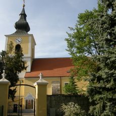
Pfarrkirche Patzmannsdorf
2.7 km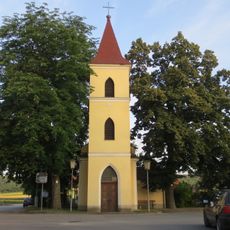
Kapelle hl. Maria, Patzenthal
1 km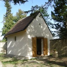
Ehem. Friedhofskapelle
2.7 km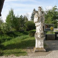
Nepomukstatue
2.7 km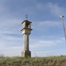
Bildstock
2.9 km
Schellenberg
1.5 km
Geißberg
2.4 km
Eichberg
1.1 km
Waldberg
2.8 km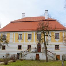
Pfarrhof
2.6 km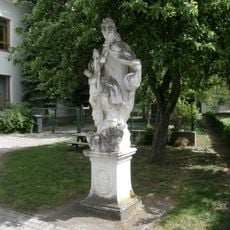
Gnadenstuhl
2.7 km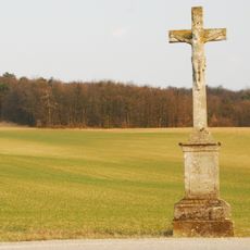
Wegkreuz
2.9 km
Denkmal
1.2 km
Wayside cross
2.1 km
Wayside shrine
1 km
Bildeiche
801 m
Wayside cross
2.8 km
Christianity, Catholic church building, wayside cross
967 m
Weiße Kreuz
2.4 km
Wayside shrine
1.2 km
Bildeiche
1.9 km
Tree, Catholic church building, Christianity, tree shrine
2.8 km
Bildeiche
2.2 km
Wayside shrine
2.1 km
Wayside shrine
1.6 km
Jugendkreuz
1.7 km
Wayside cross
1.4 km
Bildeiche
2.8 kmReviews
Visited this place? Tap the stars to rate it and share your experience / photos with the community! Try now! You can cancel it anytime.
Discover hidden gems everywhere you go!
From secret cafés to breathtaking viewpoints, skip the crowded tourist spots and find places that match your style. Our app makes it easy with voice search, smart filtering, route optimization, and insider tips from travelers worldwide. Download now for the complete mobile experience.

A unique approach to discovering new places❞
— Le Figaro
All the places worth exploring❞
— France Info
A tailor-made excursion in just a few clicks❞
— 20 Minutes