
Eichberg, Hill in the Weinviertel in Lower Austria, east of Patzenthal
Location: Stronsdorf
Elevation above the sea: 264 m
GPS coordinates: 48.61998,16.27202
Latest update: August 19, 2025 14:52
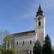
Pfarrkirche Stronsdorf
3.9 km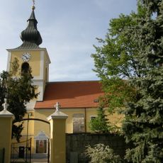
Pfarrkirche Patzmannsdorf
1.8 km
Pfarrkirche Kammersdorf
2.4 km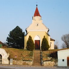
Ortskapelle Kleinkadolz
3.7 km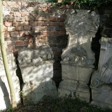
Wehrkirchenanlage Stronsdorf
3.9 km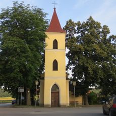
Kapelle hl. Maria, Patzenthal
264 m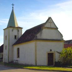
Ortskapelle Dürnleis, Gemeinde Nappersdorf-Kammersdorf
3.9 km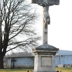
Enzersdorf im Thale Friedhofskreuz
4.1 km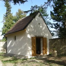
Ehem. Friedhofskapelle
1.8 km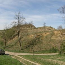
Hausberg Stronegg
3.5 km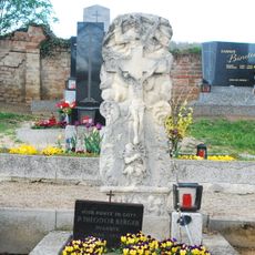
Enzersdorf im Thale Gnadenstuhl
4.1 km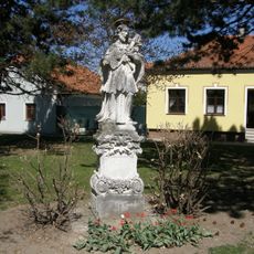
Figurenbildstock hl. Johannes Nepomuk
4.1 km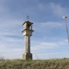
Bildstock
1.8 km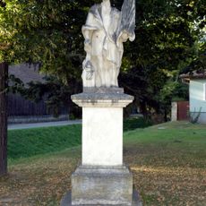
Figur heiliger Florian
2.8 km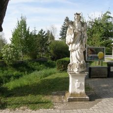
Nepomukstatue
1.8 km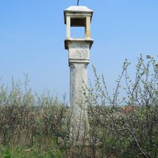
Bildstock, Hirschkreuz
2.9 km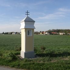
Rybakkreuz
4 km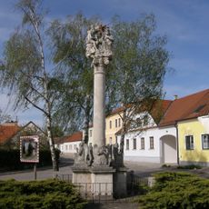
Dreifaltigkeitssäule
2.1 km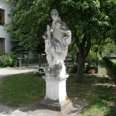
Gnadenstuhl
1.7 km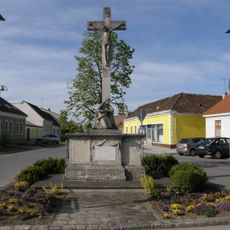
Kreuzigungsgruppe
2.1 km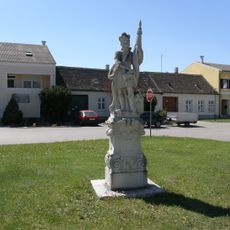
Figurenbildstock hl. Florian
4.1 km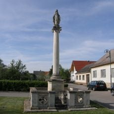
Mariensäule
2.5 km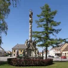
Mariensäule Stronsdorf
4.1 km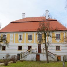
Pfarrhof
1.7 km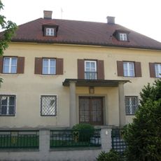
Pfarrhof
4 km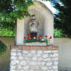
Figurenbildstock heiliger Johannes Nepomuk
2.6 km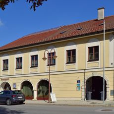
Municipal Office of Stronsdorf
4.1 km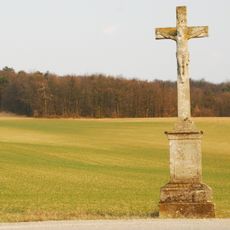
Wegkreuz
3.3 kmReviews
Visited this place? Tap the stars to rate it and share your experience / photos with the community! Try now! You can cancel it anytime.
Discover hidden gems everywhere you go!
From secret cafés to breathtaking viewpoints, skip the crowded tourist spots and find places that match your style. Our app makes it easy with voice search, smart filtering, route optimization, and insider tips from travelers worldwide. Download now for the complete mobile experience.

A unique approach to discovering new places❞
— Le Figaro
All the places worth exploring❞
— France Info
A tailor-made excursion in just a few clicks❞
— 20 Minutes