Wayside cross
Location: Sankt Johann in der Haide
GPS coordinates: 47.25460,16.01515
Latest update: November 15, 2025 17:37
Saint Florian Church
2.7 km
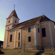
Kath. Filialkirche Mariae Opferung
1.1 km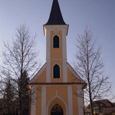
Kapelle Oberrohr
1.8 km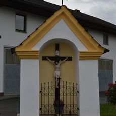
Flur-/Wegkapelle
2.8 km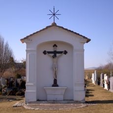
Friedhofskreuz
2.5 km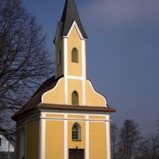
Ortskapelle
2.9 km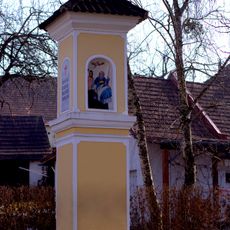
Bildstock
1.5 km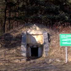
Einzelgrab der Röm. Kaiserzeit, Hügelgrab St. Johann in der Haide
2.9 km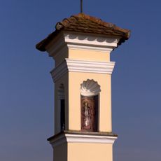
Tabernakelbildstock
2.7 km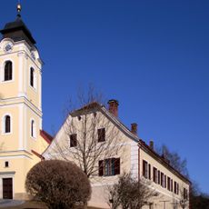
Pfarrhof
3 km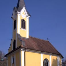
Kapelle Oberbuch
2.7 km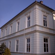
Volksschule
1.1 km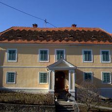
Pfarrhof
2.7 km
Wayside shrine
3 km
Catholic church building, wayside cross, Christianity
2.7 km
Feldkreuz
1.9 km
Teubl Kreuz
2.5 km
Friedhofskreuz
2.5 km
Lorettokapelle
1.2 km
Kummer Kreuz
2.8 km
Römergrab
2.9 km
Ribitsch Kreuz
2.7 km
Wayside shrine
2.9 km
Sommer Kreuz
3 km
Catholic church building, wayside cross, Christianity
2.7 km
Catholic church building, wayside cross, Christianity
2.1 km
Hirschböck Kreuz
2.6 km
Wayside cross
1.5 kmReviews
Visited this place? Tap the stars to rate it and share your experience / photos with the community! Try now! You can cancel it anytime.
Discover hidden gems everywhere you go!
From secret cafés to breathtaking viewpoints, skip the crowded tourist spots and find places that match your style. Our app makes it easy with voice search, smart filtering, route optimization, and insider tips from travelers worldwide. Download now for the complete mobile experience.

A unique approach to discovering new places❞
— Le Figaro
All the places worth exploring❞
— France Info
A tailor-made excursion in just a few clicks❞
— 20 Minutes