Blaues Kreuz
Location: St. Peter ob Judenburg
GPS coordinates: 47.17806,14.57422
Latest update: November 17, 2025 10:19
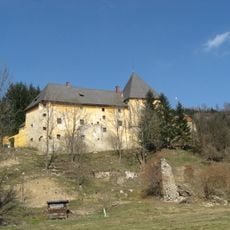
Schloss Sauerbrunn
3.4 km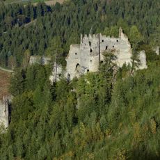
Burgruine Reifenstein
4.3 km
Endmoräne bei Grünhübl
4.1 km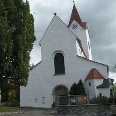
Pfarrkirche Mariä Himmelfahrt, Pöls
4.7 km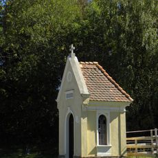
Flur-/Wegkapelle
4.2 km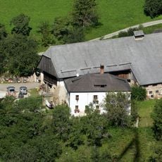
Bauernhofanlage vulgo Weißenbacher
170 m
Café Grünhübl
4.6 km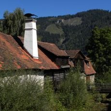
Hammerwerk Kritz, Sankt Peter ob Judenburg
1.8 km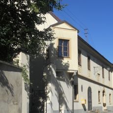
Schloss Rothenthurm
2.6 km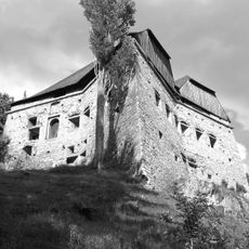
Sternschanze Pöls
3.4 km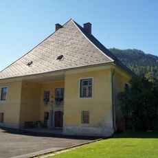
Pfarrhof Sankt Peter ob Judenburg
1.3 km
Hallstattzeitliche Höhensiedlung mit Grabhügeln am Falkenberg
4.2 km
Hallstattzeitliche Höhensiedlung mit Grabhügeln am Falkenberg
4.2 km
Hallstattzeitliche Höhensiedlung mit Grabhügeln am Falkenberg
4.2 km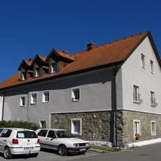
Wohnhaus Hammerplatz 1, Pöls
4.6 km
Wayside cross
4.5 km
Place of worship, wayside shrine, house of prayer
4.2 km
Wayside shrine
3.6 km
Wayside shrine
4.5 km
House of prayer, place of worship, wayside shrine, Christianity
1.7 km
Kolli Kreuz
921 m
Schöntaler Kreuz
2.4 km
Steinberger Gusti Kreuz
1.6 km
Windberger Kreuz
2.1 km
Göttfried Kreuz
2.6 km
Wayside shrine
884 m
Wayside shrine
3.1 km
Wayside shrine
4.1 kmReviews
Visited this place? Tap the stars to rate it and share your experience / photos with the community! Try now! You can cancel it anytime.
Discover hidden gems everywhere you go!
From secret cafés to breathtaking viewpoints, skip the crowded tourist spots and find places that match your style. Our app makes it easy with voice search, smart filtering, route optimization, and insider tips from travelers worldwide. Download now for the complete mobile experience.

A unique approach to discovering new places❞
— Le Figaro
All the places worth exploring❞
— France Info
A tailor-made excursion in just a few clicks❞
— 20 Minutes