Wayside shrine
Location: Bruck an der Mur
GPS coordinates: 47.39425,15.20752
Latest update: November 14, 2025 21:04
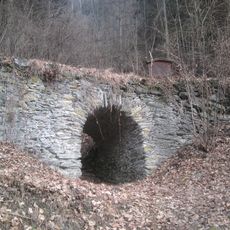
Roman bridge, St. Dionysen, Oberaich
1.9 km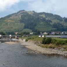
Madereck
3 km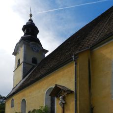
Pfarrkirche Sankt Dionysen
2.4 km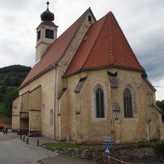
Filialkirche hl. Ulrich, Oberaich
197 m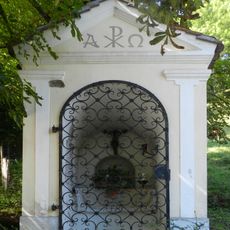
Wegkapelle, St. Dionysen
2.3 km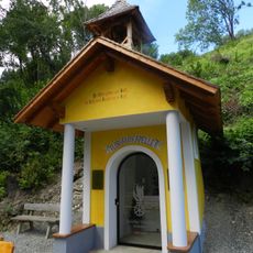
Florianikapelle, St. Dionyen
2.4 km
Paulahof, Oberdorf-Landskron
3.4 km
Kaplanstöckl/Pfarrstöckl
2.4 km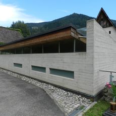
Aufbahrungshalle St. Dionysen
2.4 km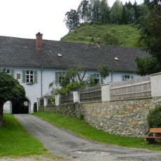
Pfarrhof St. Dionysen
2.4 km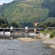
Wehranlage Oberaich
1.9 km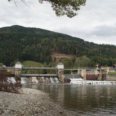
Wehranlage Oberaich
2 km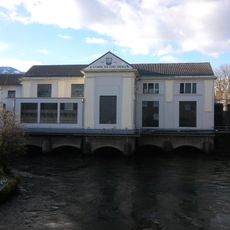
E-Werk Bruck an der Mur
3.4 km
Freibad
3.3 km
Wehranlage Oberaich
1.9 km
Freibad Bruck
3.2 km
Insektenhotel
3.4 km
Golfzentrum Bruck/Mur
1.9 km
Rutsche
3.3 km
Rutsche
3.3 km
Römerbrücke
1.9 km
Wayside cross
2.4 km
Wayside shrine
2.3 km
Wayside shrine
2 km
Wayside cross
1.5 km
Demokratie - Denk-Mal
1.1 km
Memorial
3.1 km
Memorial
216 mReviews
Visited this place? Tap the stars to rate it and share your experience / photos with the community! Try now! You can cancel it anytime.
Discover hidden gems everywhere you go!
From secret cafés to breathtaking viewpoints, skip the crowded tourist spots and find places that match your style. Our app makes it easy with voice search, smart filtering, route optimization, and insider tips from travelers worldwide. Download now for the complete mobile experience.

A unique approach to discovering new places❞
— Le Figaro
All the places worth exploring❞
— France Info
A tailor-made excursion in just a few clicks❞
— 20 Minutes