Wayside shrine
Location: Marktschellenberg
GPS coordinates: 47.68929,13.07698
Latest update: November 19, 2025 00:03
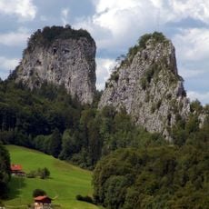
Barmsteine
65 m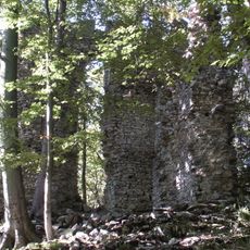
Ruine Thürndl
724 m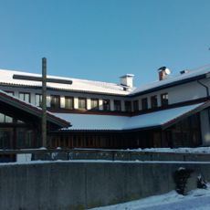
Pfarrkirche Hallein-Neualm
1.1 km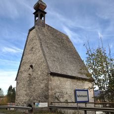
Leprosenhauskapelle Hallein
449 m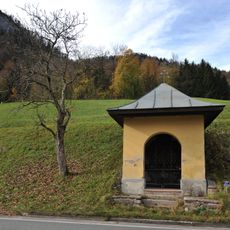
Wegkapelle Kaltenhausen
748 m
Hofkapelle, sogenannte Mehlwegkapelle
590 m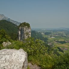
LSG Barmstein, Gemarkung Scheffau, Markt Marktschellenberg
712 m
Wohnteil des ehemaligen Bauernhauses, sogenanntes Auer- bzw. Gangllehen
755 m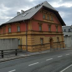
Residential building
1 km
Getreidekasten des sogenannten Mitterbarmsteinlehens
439 m
Feldkasten des sogenannten Unterbarmsteinlehens
444 m
Ehemals Bauernhaus, Einfirstanlage, sogenanntes Ertl- bzw. Jodlerlehen
686 m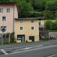
Wohnhaus
1 km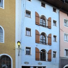
Bürgerhaus
1.1 km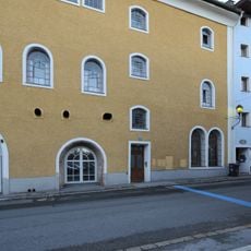
Ehem. Salzburger Textilwerk
1.1 km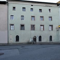
Bürgerhaus
1.1 km
Wohnhaus
1.1 km
Stallstadel Mehlweg 9 in Marktschellenberg
724 m
Wohnteil eines Bauernhauses, sogenanntes Schmidbacherlehen
614 m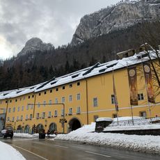
Brauerei- und Bindereimuseum Hofbräu Kaltenhausen
528 m
Gasthaus Grafinger
1.1 km
Sculpture, Work of art
1.1 km
Blick auf den kl. Barmstein
163 m
Chapel, wayside cross
469 m
Wayside shrine, boulder
54 m
Wayside shrine, Christianity, boulder
66 m
Wayside shrine
325 m
Christianity, wayside shrine
435 mReviews
Visited this place? Tap the stars to rate it and share your experience / photos with the community! Try now! You can cancel it anytime.
Discover hidden gems everywhere you go!
From secret cafés to breathtaking viewpoints, skip the crowded tourist spots and find places that match your style. Our app makes it easy with voice search, smart filtering, route optimization, and insider tips from travelers worldwide. Download now for the complete mobile experience.

A unique approach to discovering new places❞
— Le Figaro
All the places worth exploring❞
— France Info
A tailor-made excursion in just a few clicks❞
— 20 Minutes