Wayside shrine
Location: Mannersdorf am Leithagebirge
GPS coordinates: 47.95016,16.59159
Latest update: November 14, 2025 17:15

Naturpark Mannersdorf-Wüste
736 m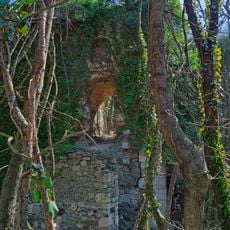
Burg Scharfeneck
1 km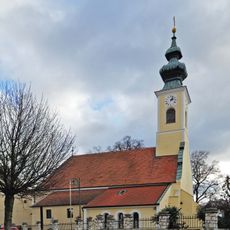
Kath. Pfarrkirche hl. Michael
1.2 km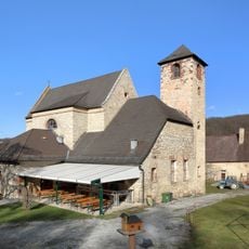
Kloster St. Anna in der Wüste
736 m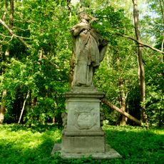
Nepomukstatue, Naturpark Mannersdorf-Wüste
657 m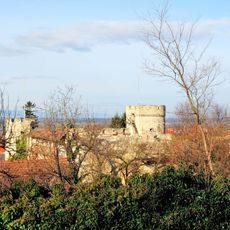
Burgruine Spitzturmhof
1.1 km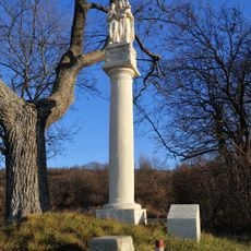
Figurenbildstock
1.1 km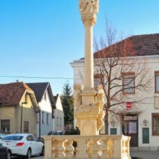
Pest-/Dreifaltigkeitssäule
1.2 km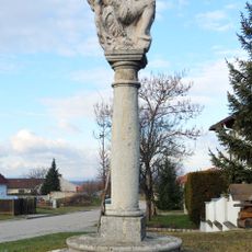
Figurenbildstock, Pietà
1.1 km
Lichtsäule
1.2 km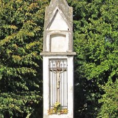
Bildstock
1.4 km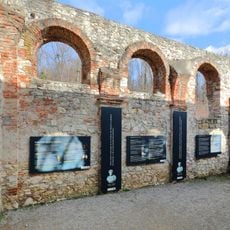
St. Leopold Chapel, Mannersdorf am Leithagebirge
690 m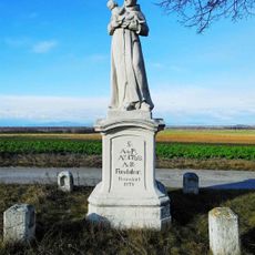
Antoni-Säule
1.4 km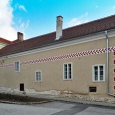
Ehem. Armenhaus, ehem. Gemeindewirtshaus
1.1 km
Pfarrhof
1.2 km
Fenster
1.1 km
Land Art
1.2 km
Sculpture, Work of art
623 m
Der leidende Nepomuk
679 m
Scenic viewpoint
1.2 km
Scenic viewpoint
1.3 km
Scenic viewpoint
1.1 km
Steiningerkreuz
1.4 km
Stoynitsch-Gedenktafel
963 m
Memorial
1.3 km
Wayside shrine
432 m
Wayside cross
733 m
Wayside shrine
1 kmReviews
Visited this place? Tap the stars to rate it and share your experience / photos with the community! Try now! You can cancel it anytime.
Discover hidden gems everywhere you go!
From secret cafés to breathtaking viewpoints, skip the crowded tourist spots and find places that match your style. Our app makes it easy with voice search, smart filtering, route optimization, and insider tips from travelers worldwide. Download now for the complete mobile experience.

A unique approach to discovering new places❞
— Le Figaro
All the places worth exploring❞
— France Info
A tailor-made excursion in just a few clicks❞
— 20 Minutes