Wayside shrine
Location: Gabersdorf
Inception: January 1, 1640
GPS coordinates: 46.78985,15.59261
Latest update: November 20, 2025 07:11

Flavia Solva
3 km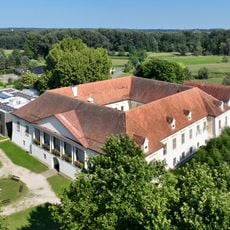
Schloss Retzhof
2.1 km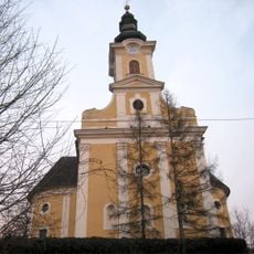
Pfarrkirche Gabersdorf
810 m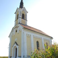
Ortskapelle
3.6 km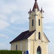
Ortskapelle
3 km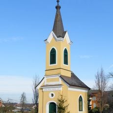
Ortskapelle
3.1 km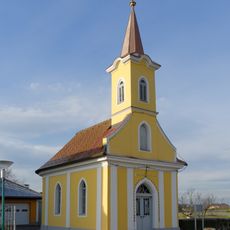
Ortskapelle
2.5 km
Römerzeitliche Stadt und Gräberfelder Flavia Solva
3.6 km
Römerzeitliche Stadt und Gräberfelder Flavia Solva
3.1 km
Flavia Solva amphitheatre
3.2 km
Römerzeitliche Stadt und Gräberfeld Flavia Solva
2.9 km
Römerzeitliche Stadt und Gräberfelder Flavia Solva
3 km
Gartenhaus des Schlosses Retzhof
2.2 km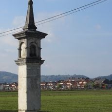
Bildstock Marktgerichtssäule
2.2 km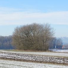
Grabhügel Koglried
1.8 km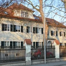
Land- und forstwirtsch. Fachschule St. Martin, Baubezirksleitung Leibnitz
3.2 km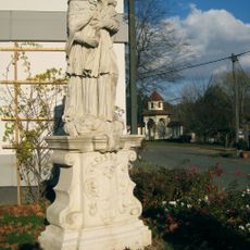
Figurenbildstock hl. Johannes Nepomuk
2.1 km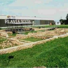
Römerzeitliche Stadt und Gräberfelder Flavia Solva
3.6 km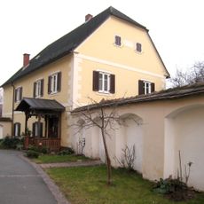
Pfarrhof Gabersdorf
825 m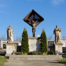
Grabdenkmal/Epitaph
748 m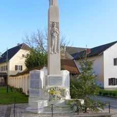
Kriegerdenkmal
832 m
Baracke des ehem. Flüchtlingslagers Wagna
3.3 km
Heiliger Johannes Nepomuk
2.1 km
Wayside shrine
2.5 km
Wayside cross, Christianity, Catholic church building
2.2 km
Schlarerkreuz
3.4 km
Wayside cross
3.5 km
Johanneskreuz
3.3 kmReviews
Visited this place? Tap the stars to rate it and share your experience / photos with the community! Try now! You can cancel it anytime.
Discover hidden gems everywhere you go!
From secret cafés to breathtaking viewpoints, skip the crowded tourist spots and find places that match your style. Our app makes it easy with voice search, smart filtering, route optimization, and insider tips from travelers worldwide. Download now for the complete mobile experience.

A unique approach to discovering new places❞
— Le Figaro
All the places worth exploring❞
— France Info
A tailor-made excursion in just a few clicks❞
— 20 Minutes