Wayside shrine
Location: Sankt Johann im Saggautal
GPS coordinates: 46.70329,15.37973
Latest update: November 18, 2025 05:45

HTBLA Kaindorf
3.4 km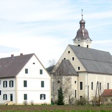
Church of the Nativity of the Virgin Mary (Arnfels)
3.5 km
Kath. Pfarrkirche hl. Johannes der Täufer
1.6 km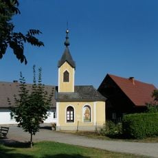
Ortskapelle
3.1 km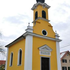
Flur-/Wegkapelle Maria Lourdes
623 m
Ortskapelle
2.8 km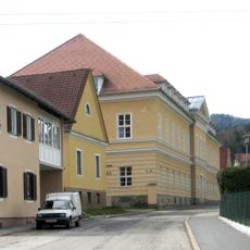
Schloss Arnfels
3.5 km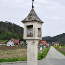
Bildstock
1.3 km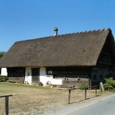
Bauernhaus Tombauer, Gündorf
3.1 km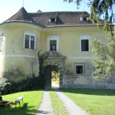
Schloss Arnfels
3.4 km
Kriegerdenkmal
3.3 km
Ehem. Herrschaftsspital
3 km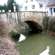
Straßenbrücke mit Figurenbildstock hl. Johannes Nepomuk
3.4 km
Pfarrhof
1.7 km
Sculpture, Work of art
3.4 km
Station Sehen
3.6 km
Wayside cross
3.3 km
Wayside cross
3.2 km
Wayside shrine
3.2 km
Memorial
1.6 km
Christianity, Catholic church building, wayside cross
1.6 km
Wayside cross, Christianity, Catholic church building
1.6 km
Wayside shrine, Christianity
3.4 km
Figurenbildstock hl. Johannes Nepomuk
3.4 km
Wayside shrine
2.6 km
Wayside shrine
3.2 km
Wayside cross
3.5 km
Wayside cross
3.3 kmReviews
Visited this place? Tap the stars to rate it and share your experience / photos with the community! Try now! You can cancel it anytime.
Discover hidden gems everywhere you go!
From secret cafés to breathtaking viewpoints, skip the crowded tourist spots and find places that match your style. Our app makes it easy with voice search, smart filtering, route optimization, and insider tips from travelers worldwide. Download now for the complete mobile experience.

A unique approach to discovering new places❞
— Le Figaro
All the places worth exploring❞
— France Info
A tailor-made excursion in just a few clicks❞
— 20 Minutes